2018/06/22: Home
Category: General
Posted by: The Agnew Family
Two and a half days of driving and we are home. After driving for about 4 1/2 hours on the 2nd day, we stopped at a rest stop. I asked Ed if he was ready to drive or if he wanted me to drive for another half hour. He choose letting me drive another half hour. We were back on the road for about 5 minutes when the traffic slowed down, actually stopped. The heavy stop and go traffic lasted about an hour, never did figure out why it was so slow. I asked Ed how he knew there would be a traffic jam ---- he really hates traffic jams so it was probably better that I was driving.
We were gone 26 days, drove 8,426 kilometers, visited 4 US National Parks, 4 US National Monuments, 3 US National Historic Site and a lot of other places. We only had one glitch on the trip. The air mattress we bought to fit the box exactly wouldn't hold air after the fourth night. The seal between the built in pump and the air mattress failed. Ed tried to seal "the seal" but it didn't work so we bought a $15 air mattress from Walmart. The cheap mattress was comfortable and held air.
It was a good trip as we learned a lot and saw a lot but it's good to be home.
2018/06/19: Rocky Mountain National Park Day 2
Category: General
Posted by: The Agnew Family
The weather is not co-operating as well today as it did yesterday. Overcast with low clouds, at least it's not raining.
Today we are going to one of the most popular parts of Rocky Mountain NP Bear Lake. We left early in hopes of getting a parking spot but no luck. Just before the Park and Ride the sign was indicating that the Bear Lake Parking lot was full. We find a parking spot at the park and ride and join the queue for the shuttle bus. On the bus we are told that sign was malfunctioning so don't be surprised to see parking at Bear Lake. In retrospect, given the number of cars in the Park and Ride the Bear Lake parking lot would have been full if the sign had worked correctly. It was not a pleasant ride as the bus was packed ---- we didn't have to worry about falling. The ride back was just as bad.
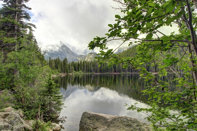
Bear Lake
After hiking around Bear Lake we decided to try one off the other trails in the area (there's lots to choose from). This popular trail took us to Nympth Lake, Dream Lake and Emerald Lake.
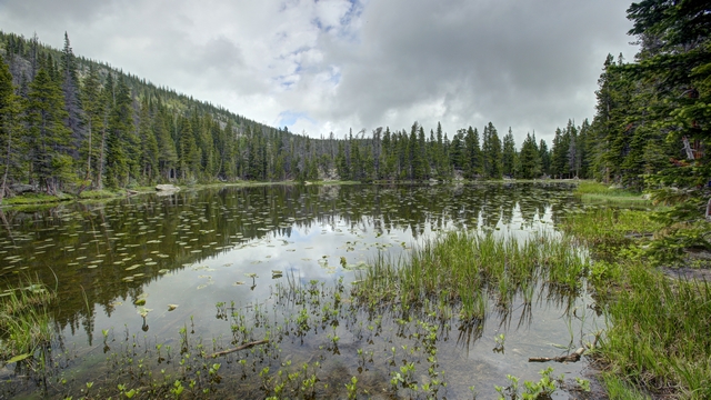
Nympth Lake.

A view along the trail to Dream Lake.
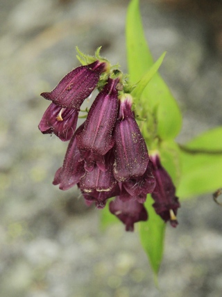
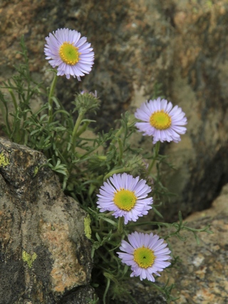
Today's wildflower selection.
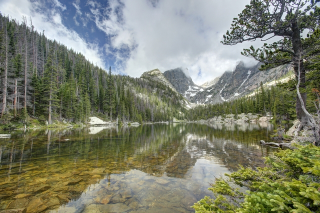
Dream Lake
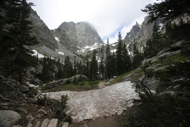
We had to walk across a patch of snow to get to Emerald Lake.
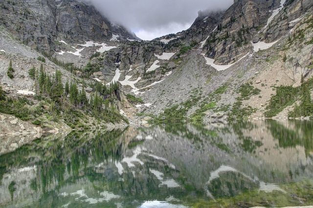
This photo of Emerald Lake really picked up the reflection of the mountain and trees in the water. You have to look closely to find the edge of the water. This was a beautiful spot to sit and contemplate Life, the Universe and Everything.
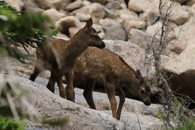
As we were leaving Emerald Lake we spotted these two fawns.
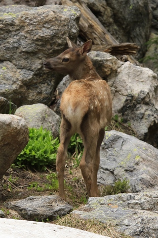
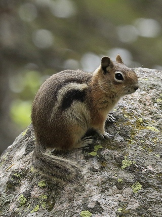
Another look at one of the fawns and of course we saw a few ground squirrels today.
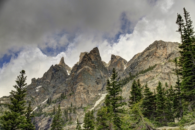
Couldn't resist this shot of the mountains when we had a moment of sun and bit of blue sky.
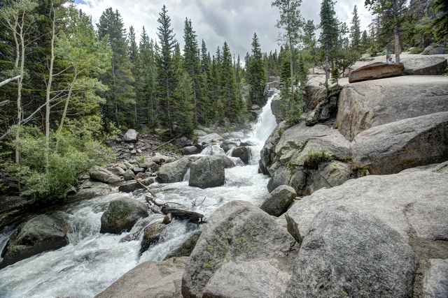
We did a second hike that took us to Alberta Falls. Unfortunately, the falls, trees and rocks were positioned in such a manner that it was impossible to get a good look at the falls.
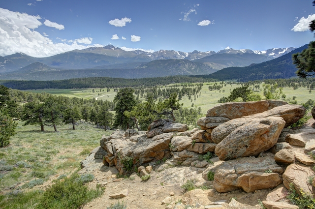
When we left the Bear Lake area we drove to section of the park we missed yesterday. One of the beautiful views along side of the road.
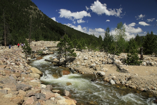
There's a lot of rocks near the west Alluvia Fan parking lot.
Today we are going to one of the most popular parts of Rocky Mountain NP Bear Lake. We left early in hopes of getting a parking spot but no luck. Just before the Park and Ride the sign was indicating that the Bear Lake Parking lot was full. We find a parking spot at the park and ride and join the queue for the shuttle bus. On the bus we are told that sign was malfunctioning so don't be surprised to see parking at Bear Lake. In retrospect, given the number of cars in the Park and Ride the Bear Lake parking lot would have been full if the sign had worked correctly. It was not a pleasant ride as the bus was packed ---- we didn't have to worry about falling. The ride back was just as bad.

Bear Lake
After hiking around Bear Lake we decided to try one off the other trails in the area (there's lots to choose from). This popular trail took us to Nympth Lake, Dream Lake and Emerald Lake.

Nympth Lake.

A view along the trail to Dream Lake.


Today's wildflower selection.

Dream Lake

We had to walk across a patch of snow to get to Emerald Lake.

This photo of Emerald Lake really picked up the reflection of the mountain and trees in the water. You have to look closely to find the edge of the water. This was a beautiful spot to sit and contemplate Life, the Universe and Everything.

As we were leaving Emerald Lake we spotted these two fawns.


Another look at one of the fawns and of course we saw a few ground squirrels today.

Couldn't resist this shot of the mountains when we had a moment of sun and bit of blue sky.

We did a second hike that took us to Alberta Falls. Unfortunately, the falls, trees and rocks were positioned in such a manner that it was impossible to get a good look at the falls.

When we left the Bear Lake area we drove to section of the park we missed yesterday. One of the beautiful views along side of the road.

There's a lot of rocks near the west Alluvia Fan parking lot.
2018/06/18: Rocky Mountain National Park
Category: General
Posted by: The Agnew Family
When I was planning our trip to Colorado I thought weíd only have time to do southern Colorado and a bit in the middle and if we were lucky maybe spend a day in Colorado Springs where we once spent an afternoon. About half way through the trip Ed and I realized that southern Colorado didnít take as much time as we expected and Ed decided that he really didnít need to go back to Colorado Springs. That put Rocky Mountain National Park on the agenda. Two days isnít really enough time to see this amazing park but itís what we have. Today we left Grand Lake on the west side of the park and drove Trail Ridge Road across the park to Estes Park. As the crow flies itís 29 km, by road itís 77 km. With stops it took us the entire day so you can imagine the number of photos we took today.
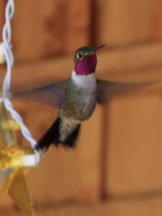
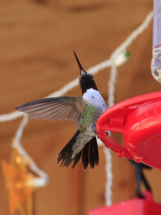
It was sunny this morning so we spent a few minutes walking around Grand Lake and of course got more hummingbird photos.
Rocky Mountain National Park is 415 square miles of spectacular mountain environments. The eastern and westerns slopes of the Continental Divide run directly through the center of the park with the headwaters of the Colorado River located in the park's northwestern region.
The Rocky Mountain National Park Act was signed by President Woodrow Wilson on January 26, 1915. In 1976, UNESCO designated the park as one of the first World Biosphere Reserves.
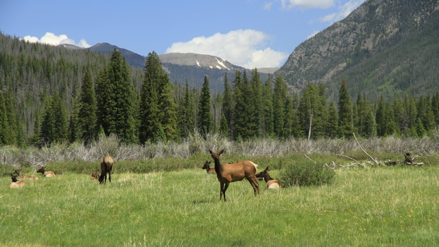
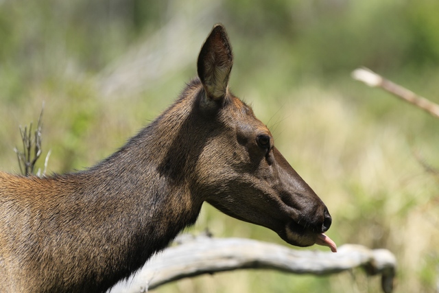
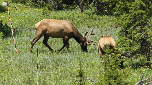
We saw Elk in a couple of places on the western side of the park. As hunting is not allowed in the park, the Elk are not afraid of people.
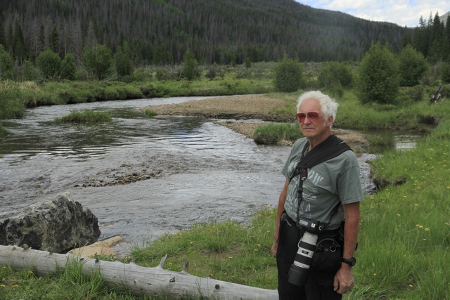
The Colorado River isn't very big here.
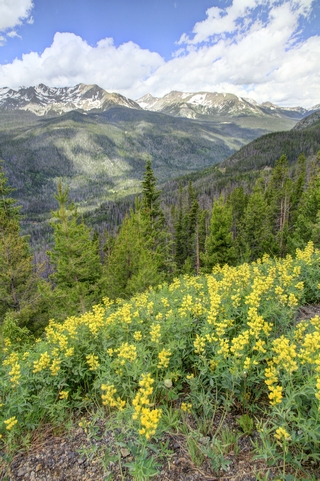
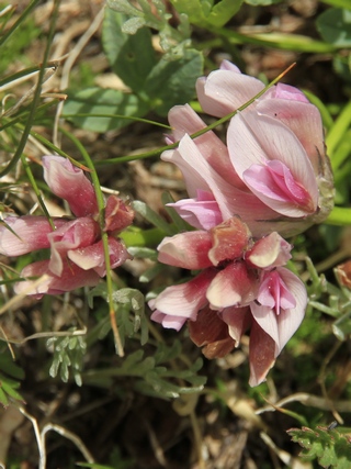
The wildflowers are absolutely amazing here as it's still spring high in the mountains.
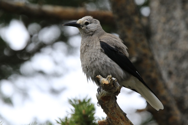
A Clark's Nutcracker.
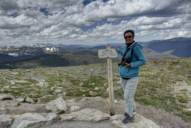
At the Alpine Visitor we followed the trail to the top --- 12,005 feet above sea level. It was very cool and very windy up there. I look a little chubby because I have my purse under my jacket.
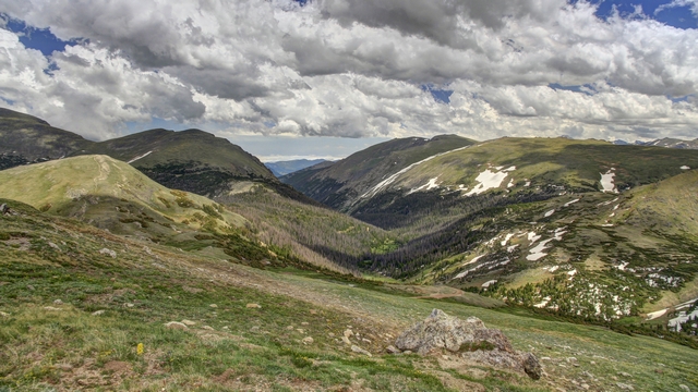
Some of the amazing scenery.
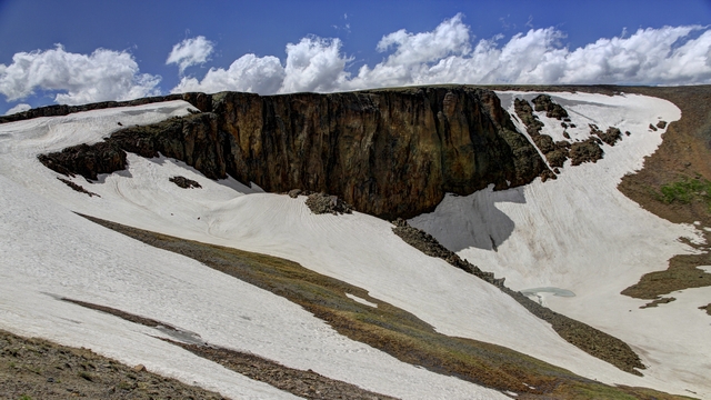
These are lava cliffs. There's still some snow here, especially at the higher altitudes.
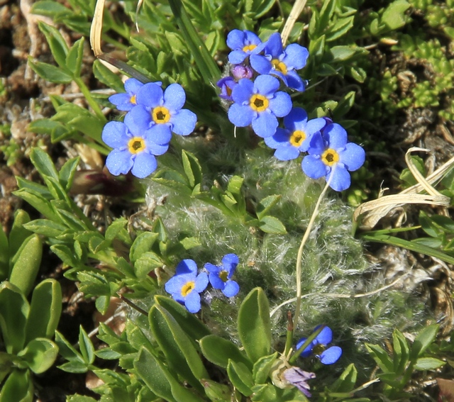
Tiny, tiny blue flowers.

Ed climbed to the top of a rock outcropping. The disc is a 360 degree map naming all of the peaks you can see.
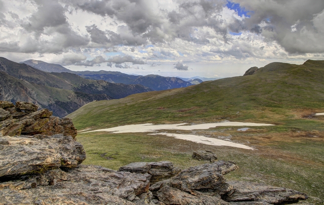
Everywhere you looked it was beautiful.
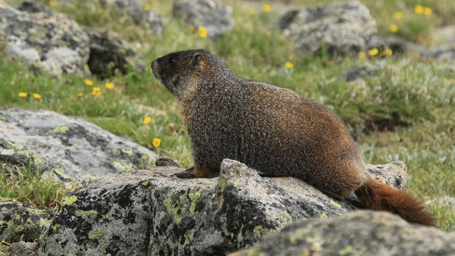
A Marmot.
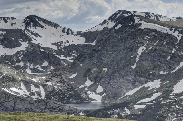
Loved the little lake nestled high in the mountains.
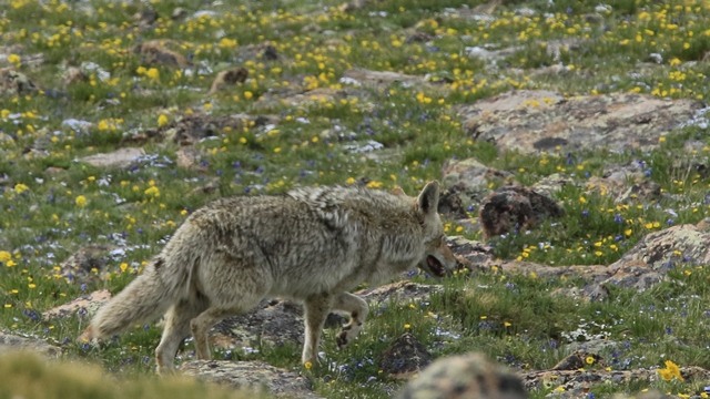
A Coyote. We and a lot of other people were watching a number of marmots when this coyote appeared. Not sure if he left because the marmots noticed him or because of all the people.
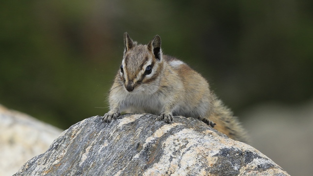
I think this is a golden-mantled ground squirrel or it could be a chipmunk. I asked but he wouldn't tell me what he was.
Some more scenery.
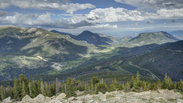
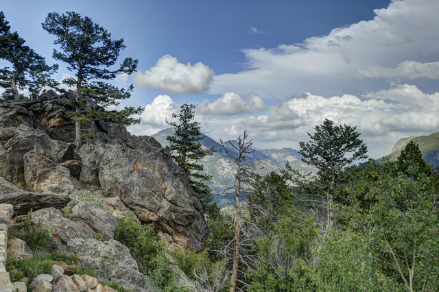
I think I may have gone a little overboard on the photos today but the park is so beautiful and I really did leave a lot out.


It was sunny this morning so we spent a few minutes walking around Grand Lake and of course got more hummingbird photos.
Rocky Mountain National Park is 415 square miles of spectacular mountain environments. The eastern and westerns slopes of the Continental Divide run directly through the center of the park with the headwaters of the Colorado River located in the park's northwestern region.
The Rocky Mountain National Park Act was signed by President Woodrow Wilson on January 26, 1915. In 1976, UNESCO designated the park as one of the first World Biosphere Reserves.
We saw Elk in a couple of places on the western side of the park. As hunting is not allowed in the park, the Elk are not afraid of people.


The Colorado River isn't very big here.


The wildflowers are absolutely amazing here as it's still spring high in the mountains.

A Clark's Nutcracker.

At the Alpine Visitor we followed the trail to the top --- 12,005 feet above sea level. It was very cool and very windy up there. I look a little chubby because I have my purse under my jacket.

Some of the amazing scenery.

These are lava cliffs. There's still some snow here, especially at the higher altitudes.

Tiny, tiny blue flowers.

Ed climbed to the top of a rock outcropping. The disc is a 360 degree map naming all of the peaks you can see.

Everywhere you looked it was beautiful.

A Marmot.

Loved the little lake nestled high in the mountains.

A Coyote. We and a lot of other people were watching a number of marmots when this coyote appeared. Not sure if he left because the marmots noticed him or because of all the people.

I think this is a golden-mantled ground squirrel or it could be a chipmunk. I asked but he wouldn't tell me what he was.
Some more scenery.


I think I may have gone a little overboard on the photos today but the park is so beautiful and I really did leave a lot out.
2018/06/17: Drive to Grand Lake
Category: General
Posted by: The Agnew Family
Today we drive north to Grand Lake which is on the south western edge of Rocky Mountain National Park. This part of Colorado received some much needed rain today, a nice steady rain that could soak into the parched earth. So be warned there's lots of clouds in today's photos.
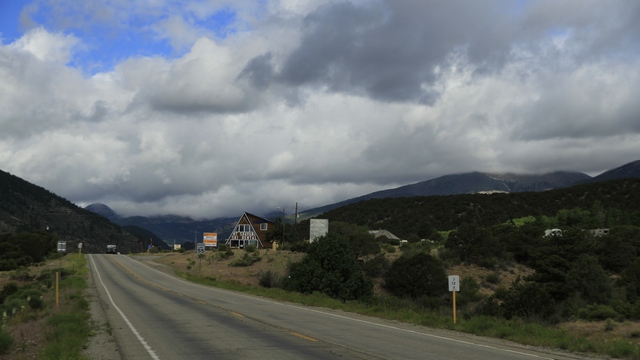
Monarch Pass doesn't look so scary when it's hiding behind the clouds.
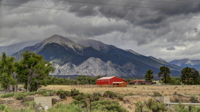
Chalk Cliffs, the bright white rock formations at the base of Mt. Princeton are not chalk but quartz that has been altered by the presence of hot water springs.
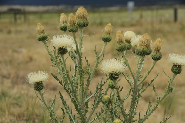
First white thistles Ed and I have ever seen.
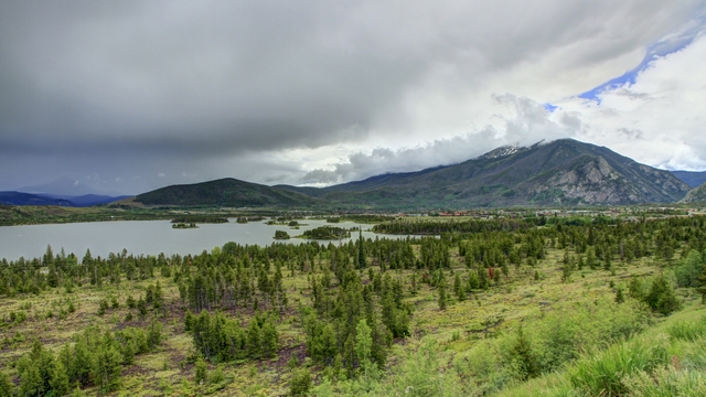
One of many reservoirs we passed today. For much of the drive we followed the Colorado River.
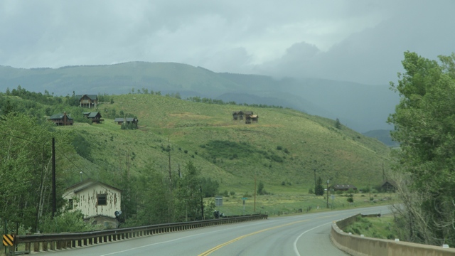
To me, the soft light makes this photograph look like a watercolour painting.
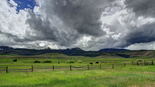
Another roadside view.
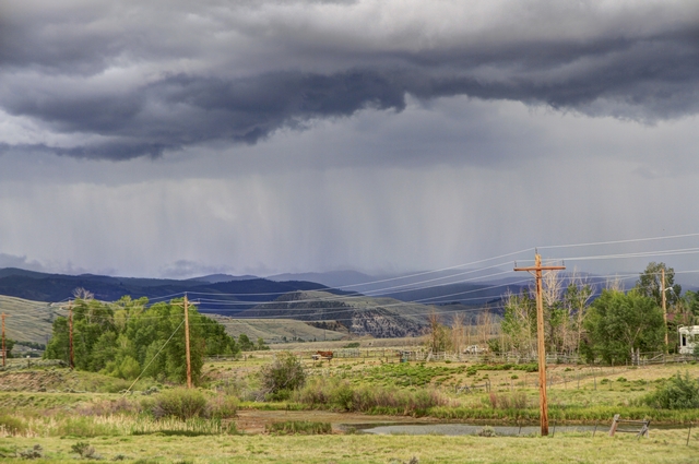
If you look closely you can see the streaks of rain.
We are staying in a cute little lodge in a cute little town called Grand Lake. Lots of interesting shops and restaurants here.
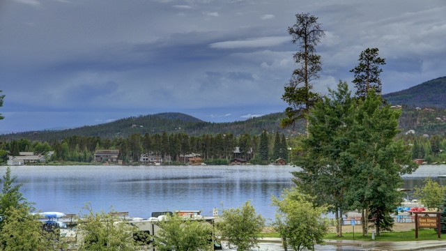
The town of course is on the shores of Grand Lake.
A number of stores have hung hummingbird feeders up.
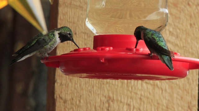
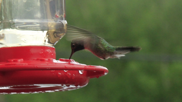
A lot of broad tailed hummingbirds with zooming by and stopping for a drink. These hummingbirds make a loud sound when they fly.

Monarch Pass doesn't look so scary when it's hiding behind the clouds.

Chalk Cliffs, the bright white rock formations at the base of Mt. Princeton are not chalk but quartz that has been altered by the presence of hot water springs.

First white thistles Ed and I have ever seen.

One of many reservoirs we passed today. For much of the drive we followed the Colorado River.

To me, the soft light makes this photograph look like a watercolour painting.

Another roadside view.

If you look closely you can see the streaks of rain.
We are staying in a cute little lodge in a cute little town called Grand Lake. Lots of interesting shops and restaurants here.

The town of course is on the shores of Grand Lake.
A number of stores have hung hummingbird feeders up.


A lot of broad tailed hummingbirds with zooming by and stopping for a drink. These hummingbirds make a loud sound when they fly.
2018/06/16: Drive to Monarch or is it Garfield?
Category: General
Posted by: The Agnew Family
Moving east today. We drove from Montrose to Monarch, a little less than 200 km. If you look on a map and canít find Monarch look for Garfield --- not sure when the town changed its name but they did and not everyone has caught up to that. Youíll see a lot of dark clouds in the photos which is giving hope to drought stricken Colorado. We did drive through one patch of rain which will hopefully help a tiny bit.
We stopped in Cimarron to view the Morrow Point Dam.
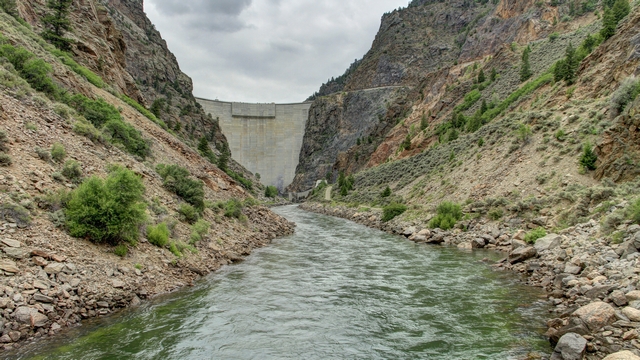
The Dam. An underground cable brings all the power from the Morrow Point Dam generators to a switchyard at a voltage of 230,000. Overhead lines on the mountainside feed electric power to the Colorado grid.
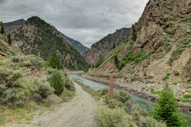
Looking away from the dam you see the Gunnison River continuing towards the Black Canyon of the Gunnison and the East Portal.
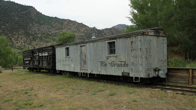
Before roads were built through the mountains, narrow gauge railways were used to transport people, goods and animals. Special train cars transported cows and sheep to the Cimarron area to graze in the high mountains over the summer months. At the end of the summer the animals were brought back down to town and transported to packing plants. Narrow gauge was chosen as it bent tighter and thus could make the tighter turns required in the mountains.
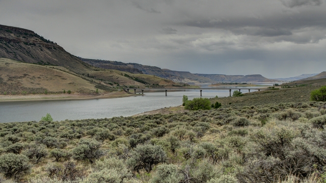
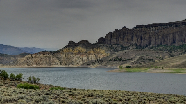
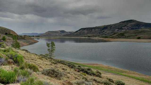
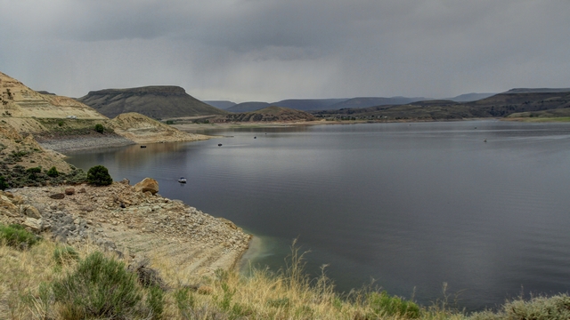
The Blue Mesa Dam is upstream from the Morrow Point Dam. The Blue Mesa Reservoir is 32 km (20 mi) long. In 1963 when the three dams were built on the Gunnison River, the railway tracks and 3 towns were swallowed up. The train had become unfeasible once the roads were built so it was no longer in use. Some photos along the Blue Mesa Reservoir.
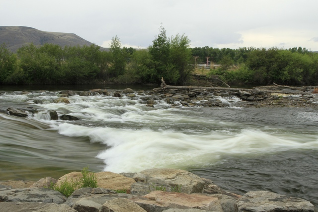
This small set of rapids is just outside of Gunnison.
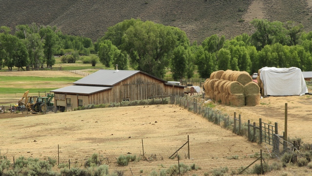
As we continue on our way towards Monarch I notice round bales of hay that are stacked in a way I havenít seen before. This may be normal for everywhere just new to me.
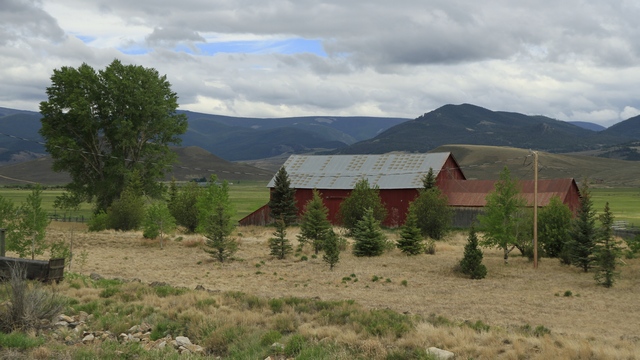
Another view along the highway.
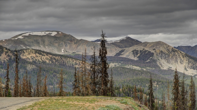
We had to go through the Monarch Pass before arriving at our hotel. Weíve been through a lot of mountain passes on our trip but this way my least favourite --- no shoulders and just a guardrail between you and cliff. Going down was much nicer as it was more of a gentle roll off then a cliff.
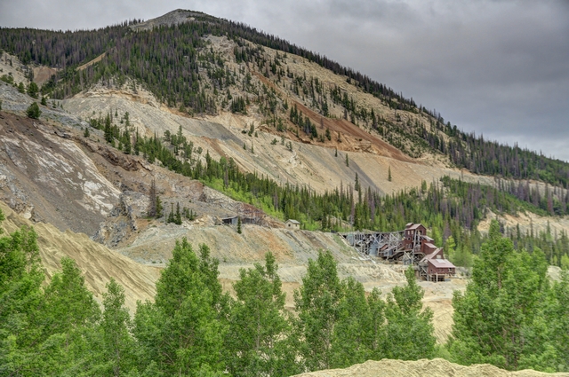
Just before we arrived at the hotel we saw this old mine.
Oh, did I mention that the camping portion of our trip has ended and we are staying in hotels during our last four nights in Colorado. Cooler weather and rain has driven us to the dry comfort of hotels. I canít complain if it rains as Colorado really needs rain.
We stopped in Cimarron to view the Morrow Point Dam.

The Dam. An underground cable brings all the power from the Morrow Point Dam generators to a switchyard at a voltage of 230,000. Overhead lines on the mountainside feed electric power to the Colorado grid.

Looking away from the dam you see the Gunnison River continuing towards the Black Canyon of the Gunnison and the East Portal.

Before roads were built through the mountains, narrow gauge railways were used to transport people, goods and animals. Special train cars transported cows and sheep to the Cimarron area to graze in the high mountains over the summer months. At the end of the summer the animals were brought back down to town and transported to packing plants. Narrow gauge was chosen as it bent tighter and thus could make the tighter turns required in the mountains.
The Blue Mesa Dam is upstream from the Morrow Point Dam. The Blue Mesa Reservoir is 32 km (20 mi) long. In 1963 when the three dams were built on the Gunnison River, the railway tracks and 3 towns were swallowed up. The train had become unfeasible once the roads were built so it was no longer in use. Some photos along the Blue Mesa Reservoir.


This small set of rapids is just outside of Gunnison.

As we continue on our way towards Monarch I notice round bales of hay that are stacked in a way I havenít seen before. This may be normal for everywhere just new to me.

Another view along the highway.

We had to go through the Monarch Pass before arriving at our hotel. Weíve been through a lot of mountain passes on our trip but this way my least favourite --- no shoulders and just a guardrail between you and cliff. Going down was much nicer as it was more of a gentle roll off then a cliff.

Just before we arrived at the hotel we saw this old mine.
Oh, did I mention that the camping portion of our trip has ended and we are staying in hotels during our last four nights in Colorado. Cooler weather and rain has driven us to the dry comfort of hotels. I canít complain if it rains as Colorado really needs rain.
Category: General
Posted by: The Agnew Family
Today we are going to the North Rim of the Black Canyon of the Gunnison. As the crow flies it's about 19 km, going the north route through Delta and Crawford google maps claims 102 km taking about 1 1/2 hours, going the south route through Cimarron and eventually finding a place to cross the water google maps claims 136 km taking about 2 hours. In the pursuit of adventure we decided to go via the north route and come home via the south route. The south route was much more interesting.
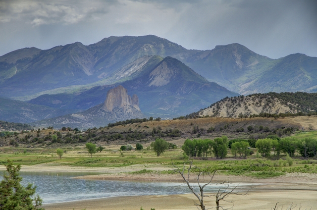
Interesting rock we saw as we driving to the North Rim.
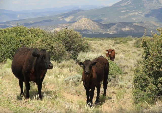
We have seen signs indicating cows on the road countless times and finally today we saw cows on the road.
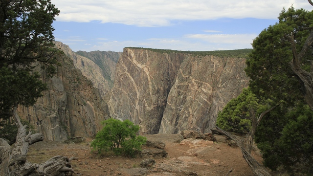
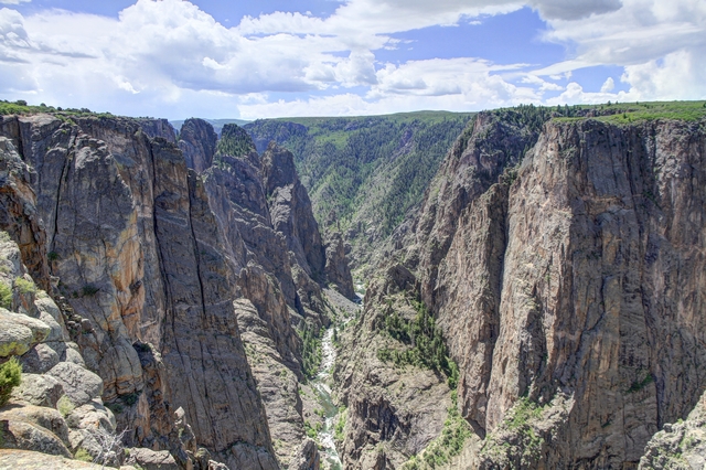
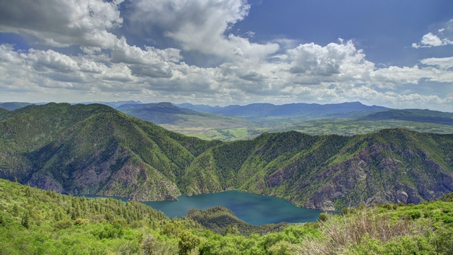
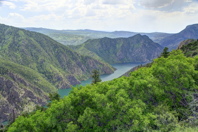
It was very interesting looking across the canyon seeing where we were yesterday and knowing we were standing on what we saw yesterday. Again the photos do not do the canyon justice.
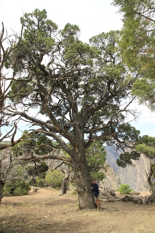
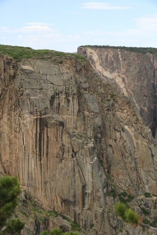
A lot of the cedar trees are short due to the harsh environment they are living in. A few do grow to a substantial size. I'm standing beside the tree so you can see how big it is. The black streaks on the rock is canyon varnish. This shear cliff is popular with climbers though we didn't see any.
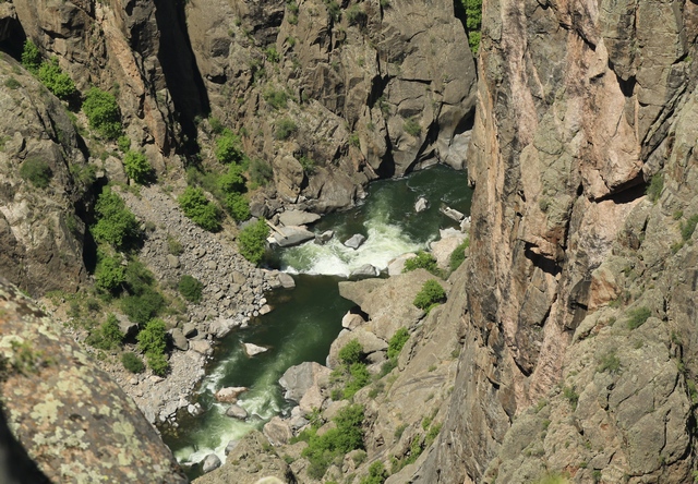
The river.
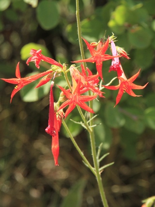
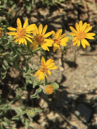
A couple of the wild flowers we saw today.
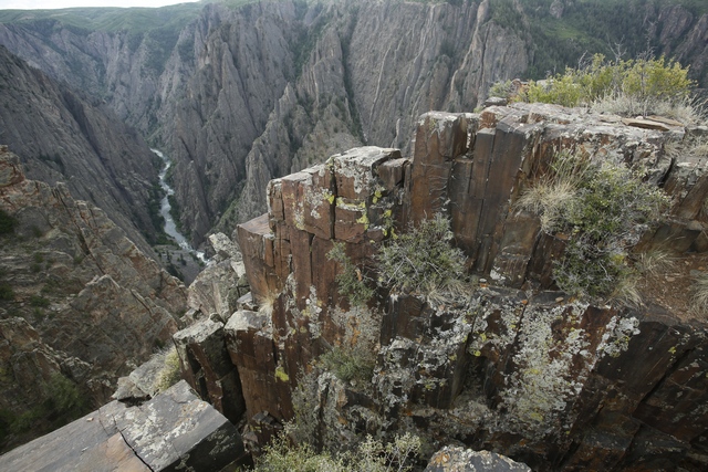
A different rock structure, these rocks were very flat and squarish. I wish I new more about geology so I could explain why the rocks are so unique here.
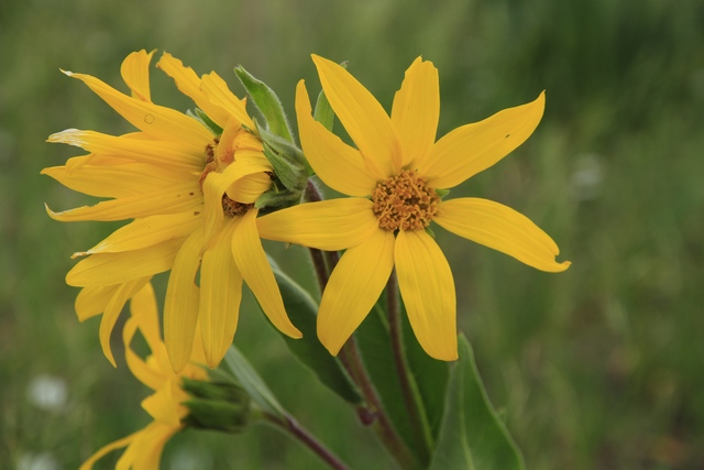
There were large areas of these wildflowers.
The south route followed the Gunnison River which was dammed and became a reservoir, then another dam and another reservoir, then a third dam (which produces hydroelectric power) and a huge reservoir. There were also lots of hills and curves on this route.
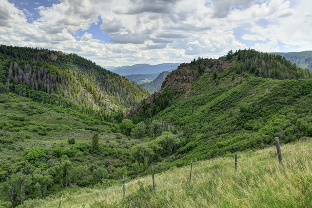

Interesting rock we saw as we driving to the North Rim.

We have seen signs indicating cows on the road countless times and finally today we saw cows on the road.

It was very interesting looking across the canyon seeing where we were yesterday and knowing we were standing on what we saw yesterday. Again the photos do not do the canyon justice.


A lot of the cedar trees are short due to the harsh environment they are living in. A few do grow to a substantial size. I'm standing beside the tree so you can see how big it is. The black streaks on the rock is canyon varnish. This shear cliff is popular with climbers though we didn't see any.

The river.


A couple of the wild flowers we saw today.

A different rock structure, these rocks were very flat and squarish. I wish I new more about geology so I could explain why the rocks are so unique here.

There were large areas of these wildflowers.
The south route followed the Gunnison River which was dammed and became a reservoir, then another dam and another reservoir, then a third dam (which produces hydroelectric power) and a huge reservoir. There were also lots of hills and curves on this route.


2018/06/14: Black Canyon of the Gunnison South Rim
Category: General
Posted by: The Agnew Family
The Black Canyon of the Gunnison is an awesome gorge. This canyon was named "black" because it is so deep, so sheer, so narrow that very little sunlight can penetrate it.
The canyon has been a mighty barrier to humans from time immemorial. Only it's rims showed evidence of human occupation. But in the early 1900s the nearby Uncompahgre Valley wanted river water for irrigation so a few of the residents decided to explore the river. In 1901 Abraham Lincoln Fellows floated down the river on a rubber mattress and said an irrigation tunnel was feasible.
We start our tour of the park by driving down the East Portal Road. A newer version of the road that was constructed so the irrigation tunnel could be built.
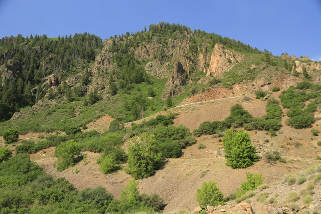
Looking back at just a little bit of the East Portal Road. It was steep, winding and long. We went down about 500 meters.
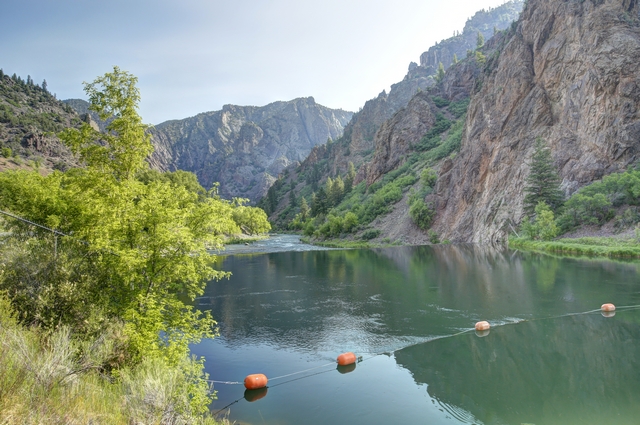
Finally at the bottom, the Gunnison River.
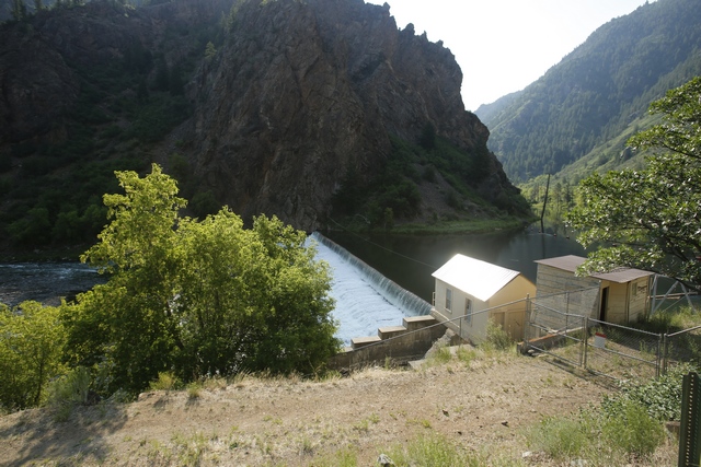
This building is the start of the tunnel. Workers digging from both ends met in the middle in July 1909. On September 23, 1909 water flowed into the valley. It wasn't until 1922 that all the work was completed: a diversion dam was built, the tunnel was lined with concrete and finishing ditches built.
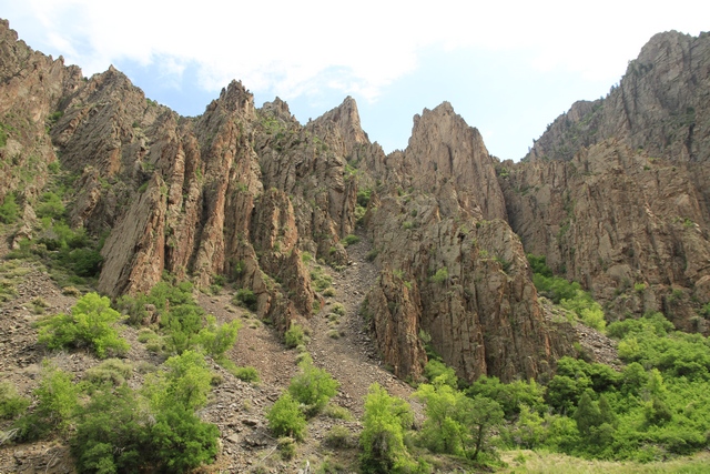
A view of the cliff walls from the bottom of the canyon.
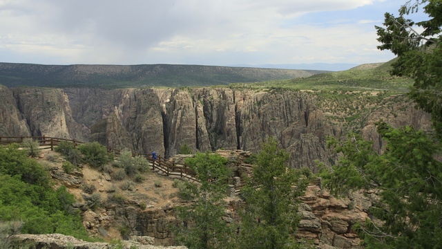
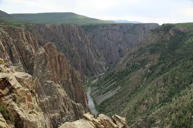
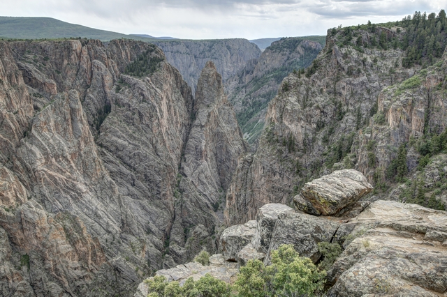
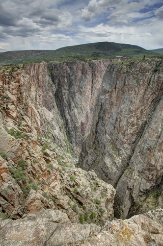
Back on the rim, we get spectacular views. The photos don't do the canyon justice as you can't make out all of the layers of rock. The photos are taken at different look outs along the South Rim Road.
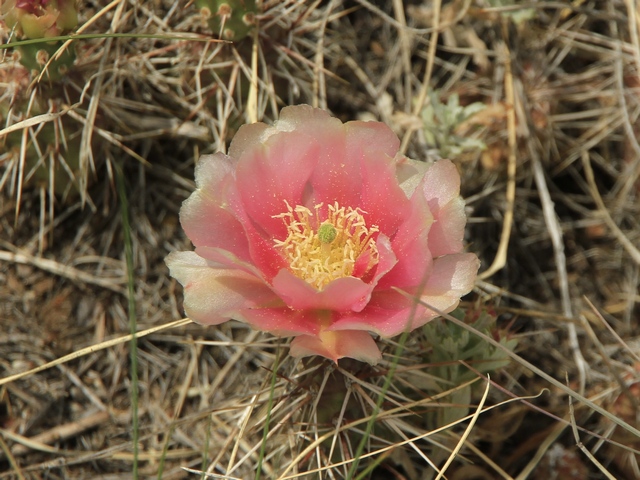
A pretty pink flower.
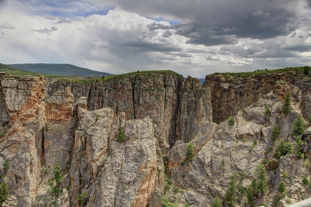
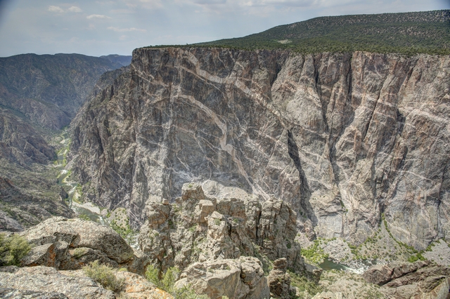
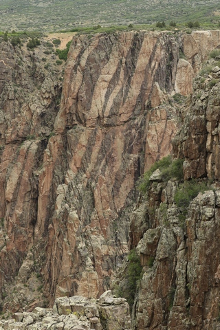
The different types of rocks are evident by the distinct colours in this cliff.
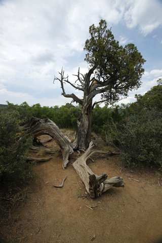
Lot of old junipers and cedars.
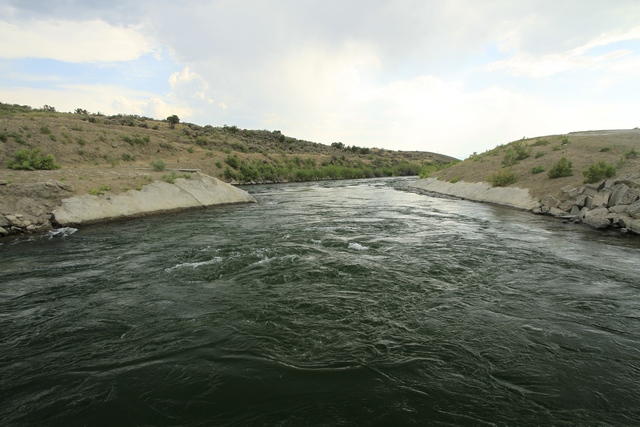
The west portal of the tunnel. Water is flowing down the canal to irrigate crops in the valley. More than 100 hundred years later and the tunnel is still doing it's job.
The canyon has been a mighty barrier to humans from time immemorial. Only it's rims showed evidence of human occupation. But in the early 1900s the nearby Uncompahgre Valley wanted river water for irrigation so a few of the residents decided to explore the river. In 1901 Abraham Lincoln Fellows floated down the river on a rubber mattress and said an irrigation tunnel was feasible.
We start our tour of the park by driving down the East Portal Road. A newer version of the road that was constructed so the irrigation tunnel could be built.

Looking back at just a little bit of the East Portal Road. It was steep, winding and long. We went down about 500 meters.

Finally at the bottom, the Gunnison River.

This building is the start of the tunnel. Workers digging from both ends met in the middle in July 1909. On September 23, 1909 water flowed into the valley. It wasn't until 1922 that all the work was completed: a diversion dam was built, the tunnel was lined with concrete and finishing ditches built.

A view of the cliff walls from the bottom of the canyon.
Back on the rim, we get spectacular views. The photos don't do the canyon justice as you can't make out all of the layers of rock. The photos are taken at different look outs along the South Rim Road.


A pretty pink flower.


The different types of rocks are evident by the distinct colours in this cliff.

Lot of old junipers and cedars.

The west portal of the tunnel. Water is flowing down the canal to irrigate crops in the valley. More than 100 hundred years later and the tunnel is still doing it's job.
2018/06/13: The Grand Mesa Scenic Route
Category: General
Posted by: The Agnew Family
Today we are starting the trek home though we are doing it slowly. We left Grand Junction and drove the Grand Mesa Scenic Route and ended up in Montrose.
According to the "visit grand junction" website, "The Grand Mesa in Colorado is known as the largest flattop mountain in the world, encompassing hundreds of square miles and standing more than 10,000 feet above sea level. The Mesa Scenic Byway winds through 63 miles of the national forest, providing beautiful views of the parkís lakes, wildlife and geological features." I have to agree that it was a beautiful drive and best of all it was cooler on the Mesa than it was in Grand Junction and in Montrose. When we arrived in Montrose about 5 pm it was 37C or 98.6F.
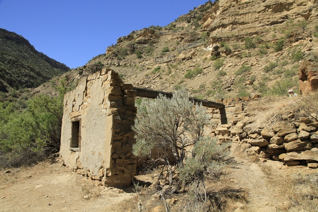
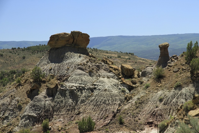
Not sure what this building had been but it hadn't been for awhile.
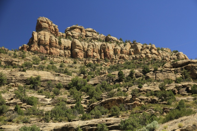
One section of road had lots of interesting rocks.
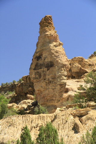
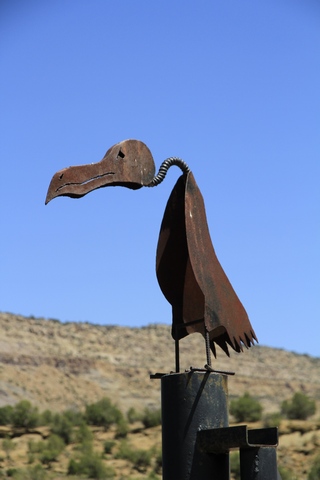
An interesting looking rock and the top of a gate post.
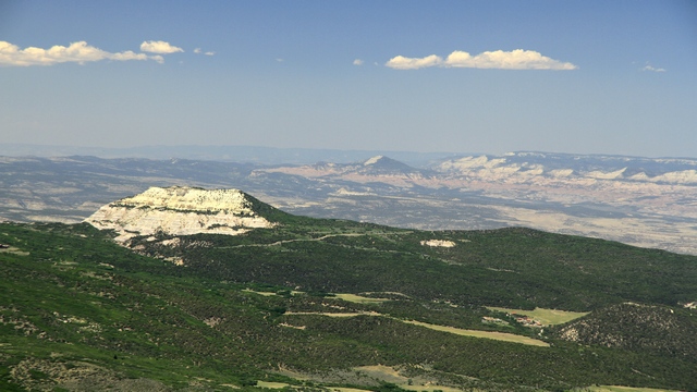
As we climbed higher on the Grand Mesa we had some spectacular views. There is one down hill skiing resort, lots of cross country skiing and snowshoeing as well as snowmobiling up here in the winter.
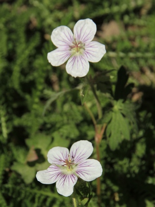
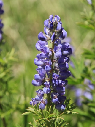
Some of the wild flowers we saw.
There were a lot of small lakes,
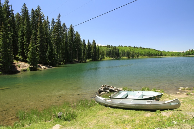
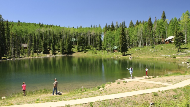
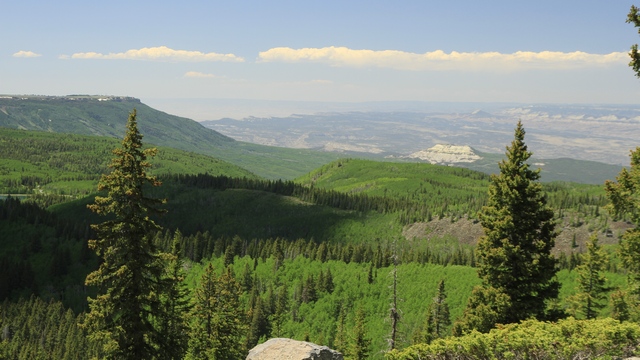
and beautiful views.
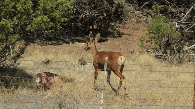
The token wildlife, a mule deer.
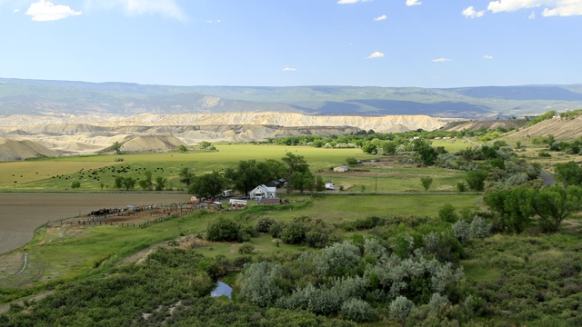
This was taken just after we descended from the Grand Mesa. The flat green land that abruptly turns into grey hills.
According to the "visit grand junction" website, "The Grand Mesa in Colorado is known as the largest flattop mountain in the world, encompassing hundreds of square miles and standing more than 10,000 feet above sea level. The Mesa Scenic Byway winds through 63 miles of the national forest, providing beautiful views of the parkís lakes, wildlife and geological features." I have to agree that it was a beautiful drive and best of all it was cooler on the Mesa than it was in Grand Junction and in Montrose. When we arrived in Montrose about 5 pm it was 37C or 98.6F.

Not sure what this building had been but it hadn't been for awhile.
One section of road had lots of interesting rocks.


An interesting looking rock and the top of a gate post.


As we climbed higher on the Grand Mesa we had some spectacular views. There is one down hill skiing resort, lots of cross country skiing and snowshoeing as well as snowmobiling up here in the winter.


Some of the wild flowers we saw.
There were a lot of small lakes,


and beautiful views.

The token wildlife, a mule deer.

This was taken just after we descended from the Grand Mesa. The flat green land that abruptly turns into grey hills.
2018/06/12: Wineries in Colorado?
Category: General
Posted by: The Agnew Family
I don't care if it's dry heat or humid heat 98F is hot, especially when you are in the sun. Ed and I were wimpy today and decided that it was going to be too hot to hike, so decided to tour around the area.
First thing we noticed were the street names. Some streets had actual names but a lot were numbered or lettered but....
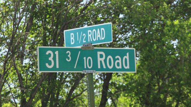
this is different, at least for us.
Ed turned the incorrect direction and pulled into a parking lot to turn around.
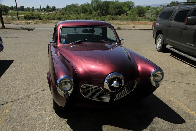
We were surprised to see a number of restored older vehicles. Ed thinks it might be an early 50s Studebaker, but he's not sure. His first thought had been a Henry J. Hmmm, in my opinion it's just a cute car.
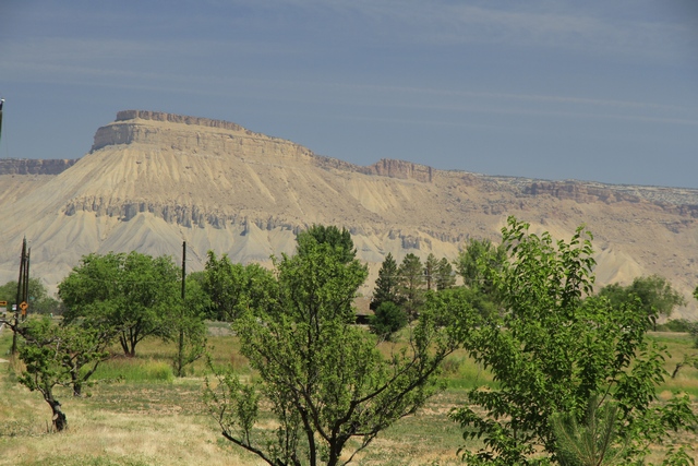
The Palisades just east of Grand Junction is known for it's fruit trees and wineries. I don't know about you but when I think of Colorado I don't think about fruit or wine. Even though it can be very hot or very cold here, the fruit trees and grapes grow well in the Palisades. We were told it was because of "the wind" that blows through the valley. Apparently it keeps it cooler in the summer and warmer in the winter. The Colorado River also helps as all of the fields are irrigated. We picked up some cherries at a fruit stand and they were really good.
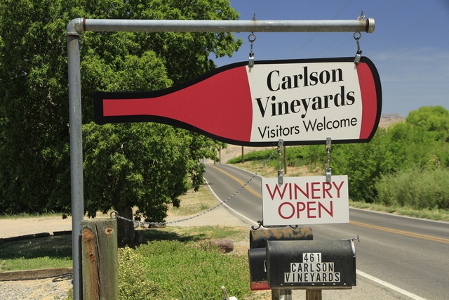
We stopped by a few wineries to check out the wines and were pleasantly surprised. Of all the wines we tried there was only one that I really didn't like.
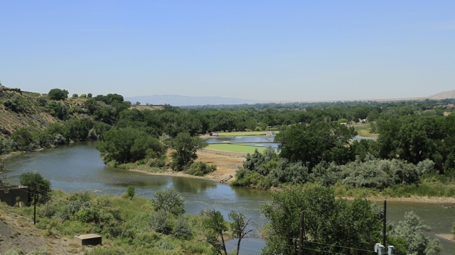
A view of the Colorado as we entered the town of Palisade.
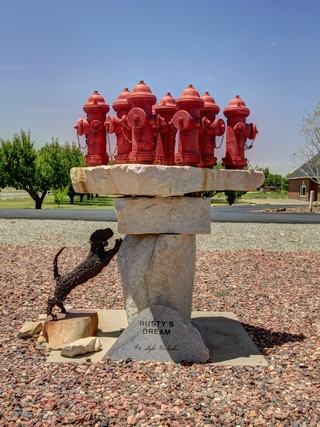
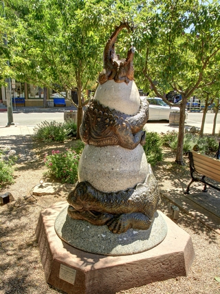
There were a number of interesting sculptures around town. The one of the left is titled "Rusty's Dream" and the one on the right is titled "Which came first... the dinosaur or the egg?
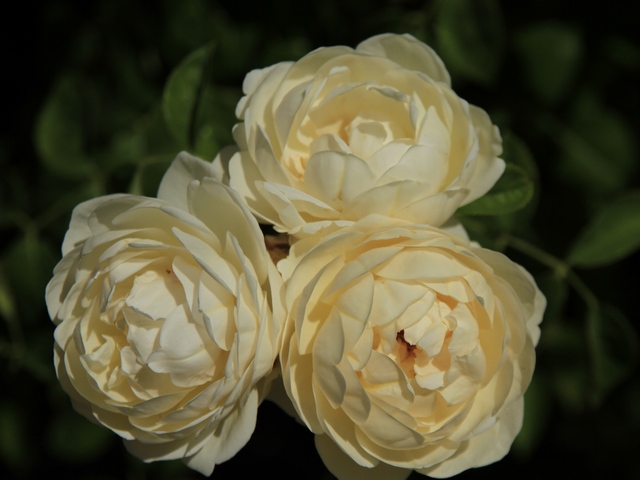
A geocache was in a rose garden. Unfortunately, we missed the peak blooming time. The garden would have been amazing a week or so ago.
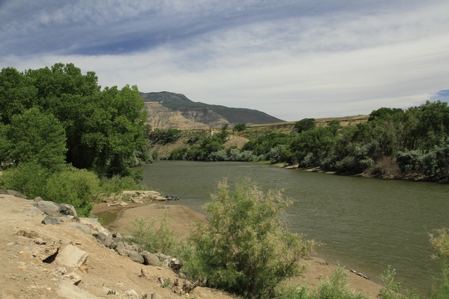
Another view of the Colorado River.
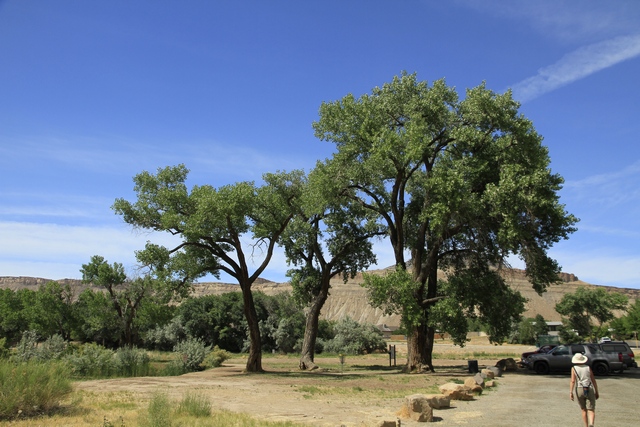
Cottonwood trees are plentiful in Colorado. Today we really appreciated the shade.
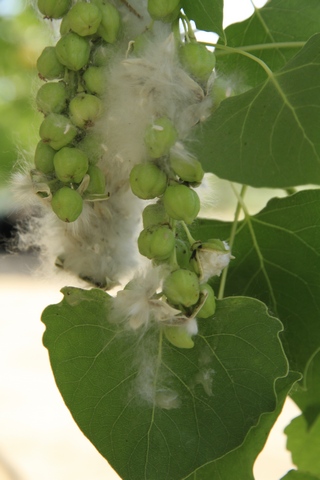
The downside of the cottonwood tree is the white snow like fluff they produce in June. There was white fluffy stuff flying every where.
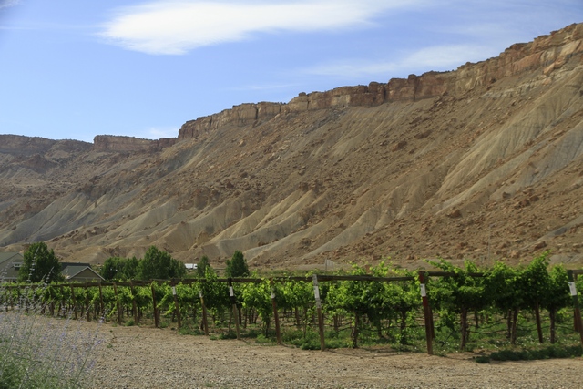
We got a good photo of the grape vines at the last winery we visited.
First thing we noticed were the street names. Some streets had actual names but a lot were numbered or lettered but....

this is different, at least for us.
Ed turned the incorrect direction and pulled into a parking lot to turn around.

We were surprised to see a number of restored older vehicles. Ed thinks it might be an early 50s Studebaker, but he's not sure. His first thought had been a Henry J. Hmmm, in my opinion it's just a cute car.

The Palisades just east of Grand Junction is known for it's fruit trees and wineries. I don't know about you but when I think of Colorado I don't think about fruit or wine. Even though it can be very hot or very cold here, the fruit trees and grapes grow well in the Palisades. We were told it was because of "the wind" that blows through the valley. Apparently it keeps it cooler in the summer and warmer in the winter. The Colorado River also helps as all of the fields are irrigated. We picked up some cherries at a fruit stand and they were really good.

We stopped by a few wineries to check out the wines and were pleasantly surprised. Of all the wines we tried there was only one that I really didn't like.

A view of the Colorado as we entered the town of Palisade.


There were a number of interesting sculptures around town. The one of the left is titled "Rusty's Dream" and the one on the right is titled "Which came first... the dinosaur or the egg?

A geocache was in a rose garden. Unfortunately, we missed the peak blooming time. The garden would have been amazing a week or so ago.

Another view of the Colorado River.

Cottonwood trees are plentiful in Colorado. Today we really appreciated the shade.

The downside of the cottonwood tree is the white snow like fluff they produce in June. There was white fluffy stuff flying every where.

We got a good photo of the grape vines at the last winery we visited.
2018/06/11: Colorado National Monument
Category: General
Posted by: The Agnew Family
An update to a posting from a couple of days ago. There are three theories of how the Million Dollar Highway got it's name. One explanation is that an early traveler was so overcome by vertigo on the steep and winding stretch of road that he insisted he would never travel it again, even if he was paid a million dollars. Another explanation is that the construction of the road in the 1930's cost one million dollars per mile, or that the land cost a total of a million. My favourite theory is the name has to do with the fact that builders used gravel from the nearby silver and gold mines and that the dirt was so rich in ore, it was worth a million. The gravel on the road we drove on the truck tour was tailings from the local mines so as the guide put it we were driving on a highway paved with gold and silver. Now on to today.
The Colorado National Monument was created in 1911. It is 32 square miles of rugged up and down terrain with towering masses of naturally sculpted rock.
We started the morning with a 3 km hike up a hill quickly followed by a 3 km down a hill. We think this is a trail that a lot of the locals hike on a regular basis as it's close to the park entrance and a number of homes. Some of the sites on our hike.
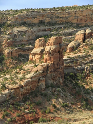
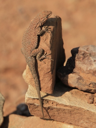
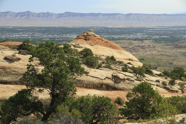
The 23 mile Rim Rock Drive climbs from the Colorado River to to the park's high country, then winds along the plateau rim. The views are incredible making it really difficult to choose photos.
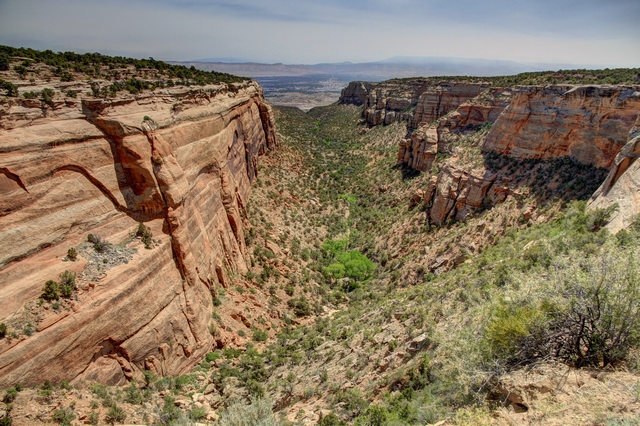
Red Canyon Overlook
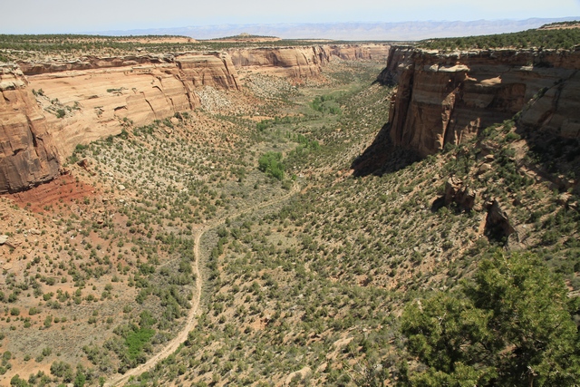
Ute Canyon Overlook. What looks like a road at the bottom of the canyon is actually a dry creek bed that is until it rains.
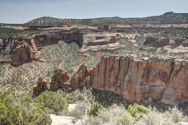
At Artists Point the colour that paints the Monument's landscape is part due to the colour of the minerals in the rocks as well as the kinds of lichens and chemical compounds that coat their surfaces.
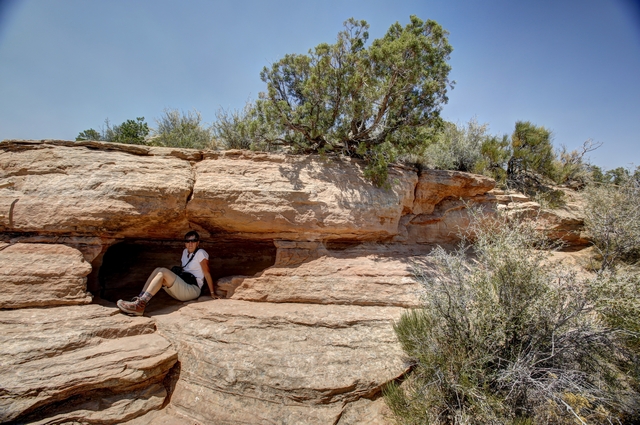
I found a some shade on the trail to the lower look out at Artists Point.
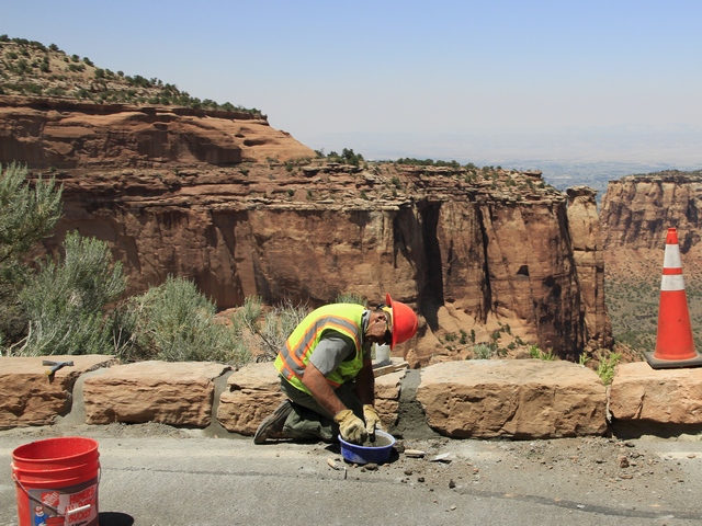
They are busy getting the park ready for summer --- part of the road is newly paved, here men are laying new curb stone and new guard rail is also being installed.
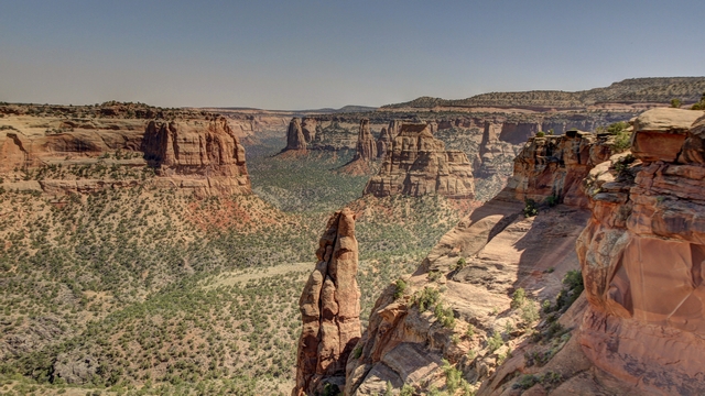
I'm not sure if this is the named "praying hands" but it certainly looks like it.
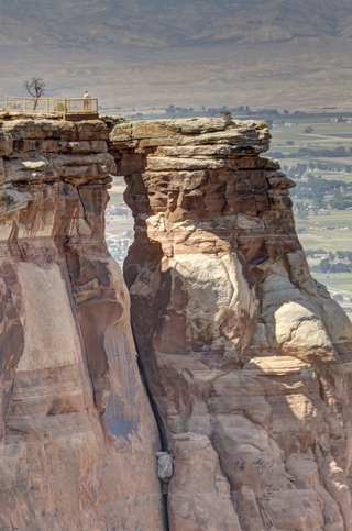
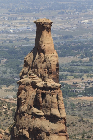
Window rock and this is Independence
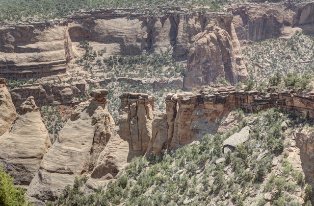
The "Coke Ovens", so named because the shape reminded someone of the ovens used to turn coal into coke. We followed a trail that took us to the out cropping just before the "coke oven" rocks (near the middle of the photo).
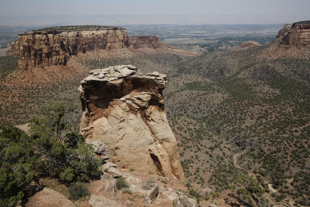
Another view. .
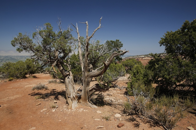
Lots of gnarly old cedars and junipers. Thought I should throw in a photo of something other than a rock.
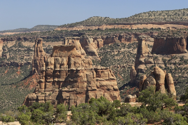
The first rock on the left is the "kissing couple" and the rock in front is "Independence" side profile.
The Colorado National Monument was created in 1911. It is 32 square miles of rugged up and down terrain with towering masses of naturally sculpted rock.
We started the morning with a 3 km hike up a hill quickly followed by a 3 km down a hill. We think this is a trail that a lot of the locals hike on a regular basis as it's close to the park entrance and a number of homes. Some of the sites on our hike.


The 23 mile Rim Rock Drive climbs from the Colorado River to to the park's high country, then winds along the plateau rim. The views are incredible making it really difficult to choose photos.

Red Canyon Overlook

Ute Canyon Overlook. What looks like a road at the bottom of the canyon is actually a dry creek bed that is until it rains.

At Artists Point the colour that paints the Monument's landscape is part due to the colour of the minerals in the rocks as well as the kinds of lichens and chemical compounds that coat their surfaces.

I found a some shade on the trail to the lower look out at Artists Point.

They are busy getting the park ready for summer --- part of the road is newly paved, here men are laying new curb stone and new guard rail is also being installed.

I'm not sure if this is the named "praying hands" but it certainly looks like it.


Window rock and this is Independence

The "Coke Ovens", so named because the shape reminded someone of the ovens used to turn coal into coke. We followed a trail that took us to the out cropping just before the "coke oven" rocks (near the middle of the photo).

Another view. .

Lots of gnarly old cedars and junipers. Thought I should throw in a photo of something other than a rock.

The first rock on the left is the "kissing couple" and the rock in front is "Independence" side profile.
2018/06/10: Drive to Grand Junction
Category: General
Posted by: The Agnew Family
Today we are driving the Unaweep Tabeguache scenic drive (donít ask me to pronounce it) from Placerville to Whitewater. At first the drive seemed to be more of the same but it didnít take long to prove that this road was definitely worth driving.
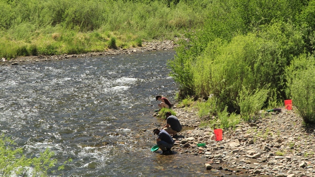
Yup, people really do pan for gold in the rivers and creeks of Colorado.
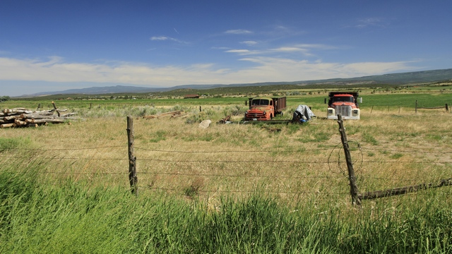
After driving in the bottom of a canyon for a while the road climbed out onto the plains.
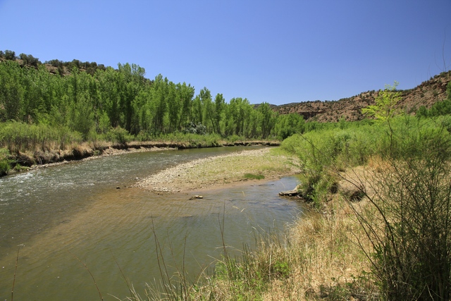
A lot of the drive was along the Dolores River. It was interesting to see trees and lots of green vegetation along the river then look across the road to see a dry landscape with short shrubs.

One area along the route had a lot of Uranium mines. The mines closed back in the 1980s and the canyon was restored back to itís natural beauty. It is interesting to see all of the colours in the rock.
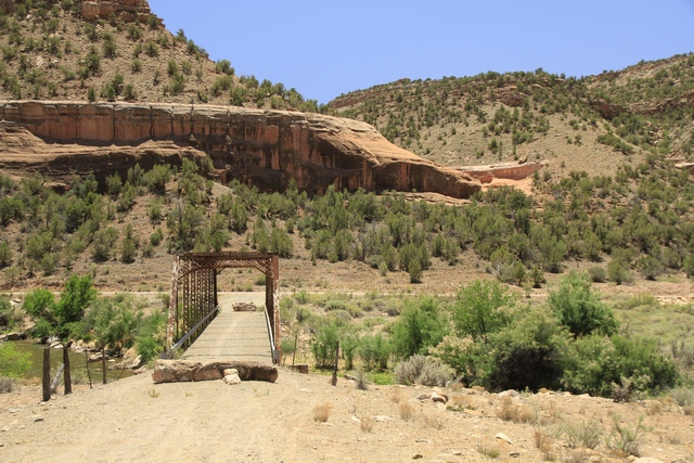
An old bridge that obviously isnít used by cars.
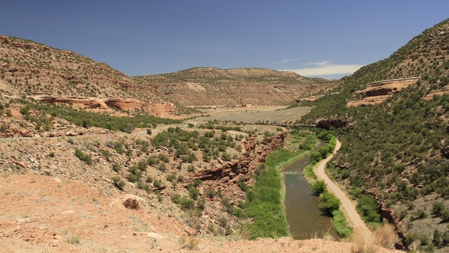
Another river scene.
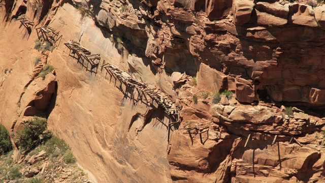
The remains of a 1880ish ďhanging flumeĒ that was used to transfer water from the river to a placer mine about 4 miles away.
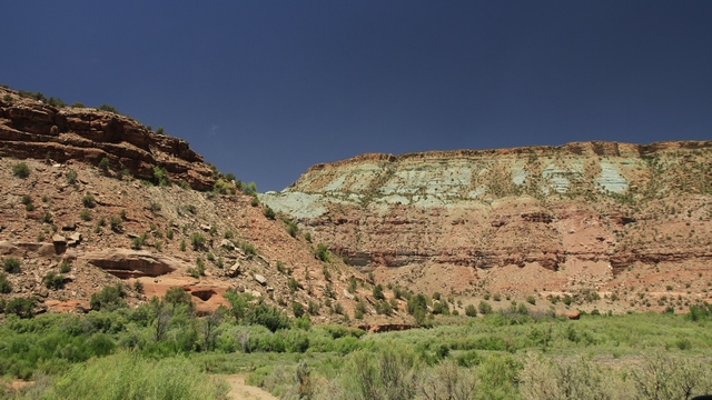
More pretty coloured rock.
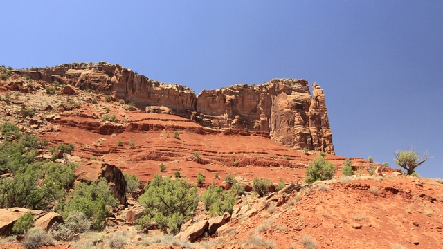
After a while we were driving in the bottom of a canyon beside the Dolores River with step red rock walls on both sides.
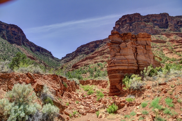
Interesting formations.
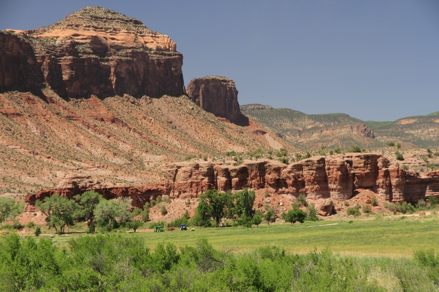
Interesting farm ---- hay fields with an amazing back drop. The little specks are farm equipment and a round bail of hay.
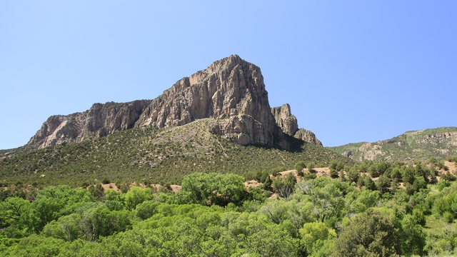
The type of rock changed again.
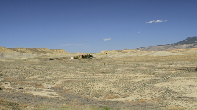
When we left the scenic drive and turned on the highway to drive to Grand Junction, we saw this landscape. Looks a little like the moon to me.

Yup, people really do pan for gold in the rivers and creeks of Colorado.

After driving in the bottom of a canyon for a while the road climbed out onto the plains.

A lot of the drive was along the Dolores River. It was interesting to see trees and lots of green vegetation along the river then look across the road to see a dry landscape with short shrubs.

One area along the route had a lot of Uranium mines. The mines closed back in the 1980s and the canyon was restored back to itís natural beauty. It is interesting to see all of the colours in the rock.

An old bridge that obviously isnít used by cars.

Another river scene.

The remains of a 1880ish ďhanging flumeĒ that was used to transfer water from the river to a placer mine about 4 miles away.

More pretty coloured rock.

After a while we were driving in the bottom of a canyon beside the Dolores River with step red rock walls on both sides.

Interesting formations.

Interesting farm ---- hay fields with an amazing back drop. The little specks are farm equipment and a round bail of hay.

The type of rock changed again.

When we left the scenic drive and turned on the highway to drive to Grand Junction, we saw this landscape. Looks a little like the moon to me.
2018/06/09: Smoke Gets in Your Eyes
Category: General
Posted by: The Agnew Family
The Durango Fire continues to grow.... it's still a long way from us, but depending how the winds are blowing we do get smoke and today a bit of ash.
All the brochures and a lot of people tell you how beautiful the "Million Dollar Highway" is, so today we drove it and a little more. From what I've read the "Million Dollar Highway" is the portion of Highway 550 from Ouray to Silverton. In 1882-3, Otto Mears and Fred Walsen built the 12 miles of toll road between Red Mountain Pass and Ouray. At that time it cost $10,000 per mile to build. A toll of $5 per wagon team or $1 for each livestock was charged. It was years later that this road was called the "Million Dollar Highway".
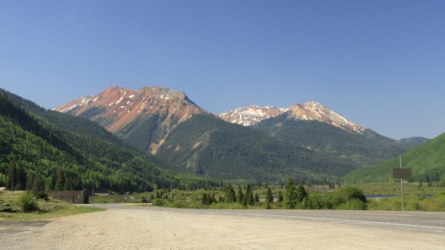
A view of the Red Mountains.
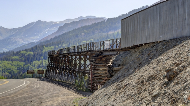
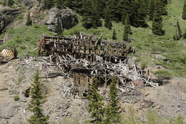
I'm not sure what this wooden structure was used for but it definitely had something to do with mining because it is in front of what was a huge mining operation.
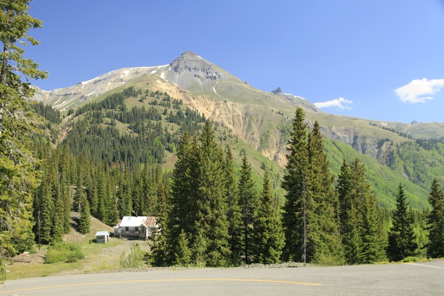
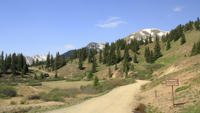
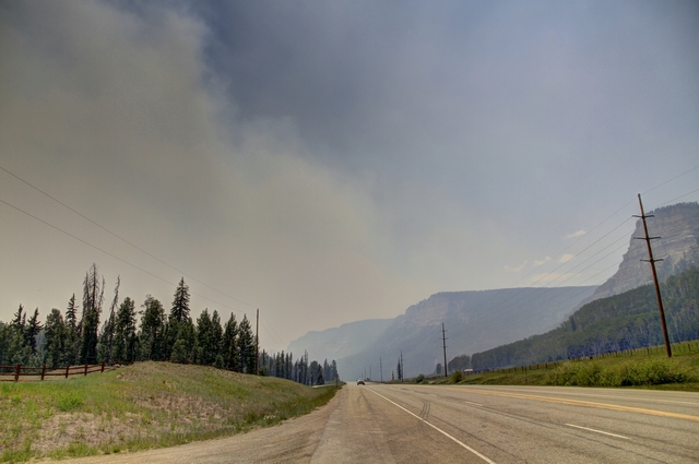
We were closer to the fire here .... you can really see the smoke in the air.
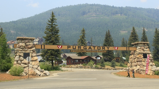
Ed was intrigued by the Purgatory, turned out it was a ski hill.
We saw a number of lakes on the drive.
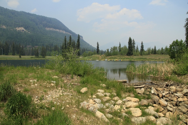
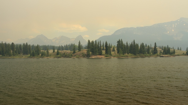
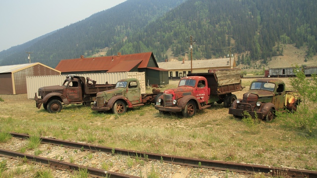
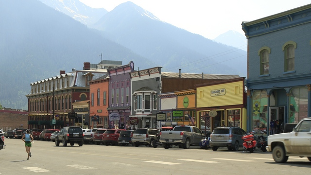
Silverton is a small town with a definite western feel.
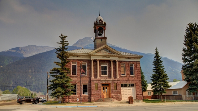
The Silverton City Hall built in 1908.
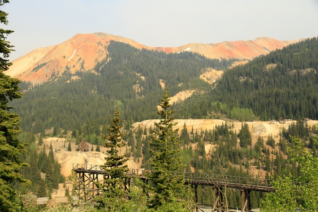
Another view of the Red Mountains.
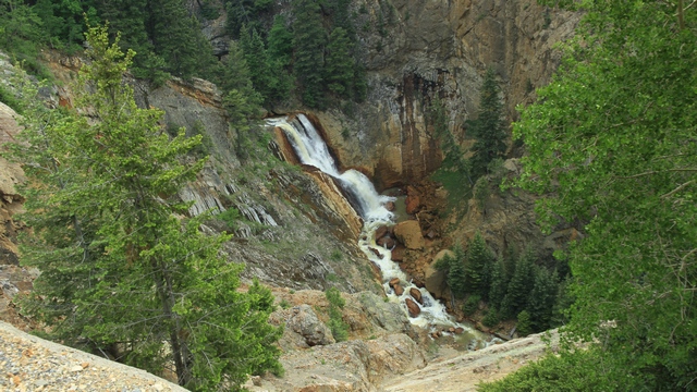
A waterfall by the side of the highway.
All the brochures and a lot of people tell you how beautiful the "Million Dollar Highway" is, so today we drove it and a little more. From what I've read the "Million Dollar Highway" is the portion of Highway 550 from Ouray to Silverton. In 1882-3, Otto Mears and Fred Walsen built the 12 miles of toll road between Red Mountain Pass and Ouray. At that time it cost $10,000 per mile to build. A toll of $5 per wagon team or $1 for each livestock was charged. It was years later that this road was called the "Million Dollar Highway".

A view of the Red Mountains.

I'm not sure what this wooden structure was used for but it definitely had something to do with mining because it is in front of what was a huge mining operation.


We were closer to the fire here .... you can really see the smoke in the air.

Ed was intrigued by the Purgatory, turned out it was a ski hill.
We saw a number of lakes on the drive.


Silverton is a small town with a definite western feel.


The Silverton City Hall built in 1908.


Another view of the Red Mountains.

A waterfall by the side of the highway.
2018/06/08: Truck Tour and Ouray
Category: General
Posted by: The Agnew Family
This morning when went on a truck tour into the mountains around Ouray. We're a little early in the season so not all the mountain routes were open and one that was partially opened has been closed due a broken slab of rock. Given the lack of trails I think our guide spent a little extra time telling us about the history of the area and the mining in the area, or maybe he just liked share the information --- we were out an hour longer than scheduled.
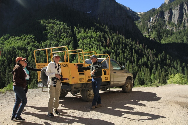
This is the tour vehicle, a pickup truck with a modified back to sit 12 people.
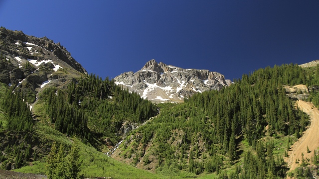
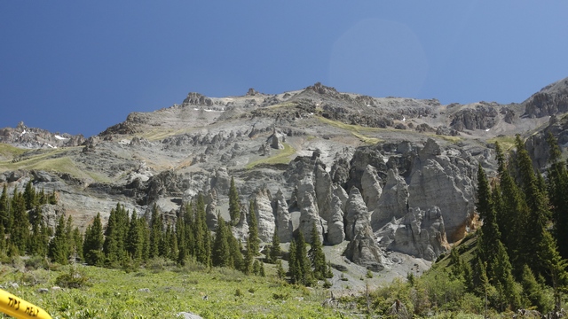
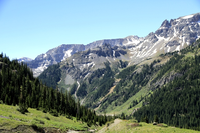
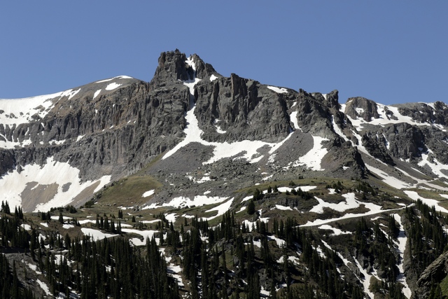
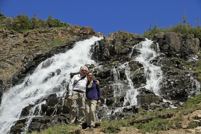
Some of the beautiful views we saw today.
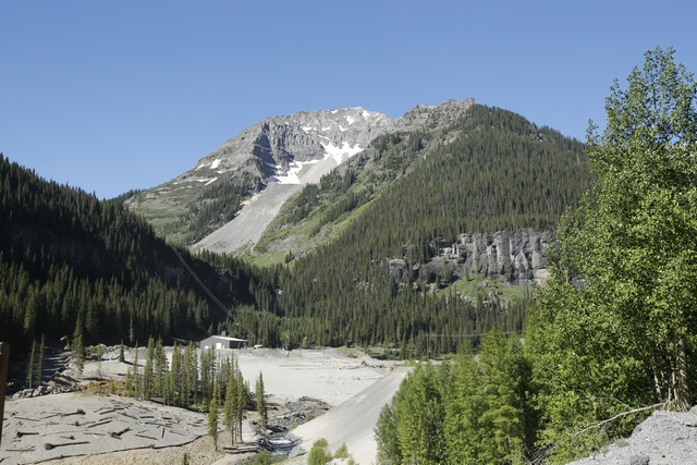
This is an active gold mine.
This is a disintegrating hammer mill. There were six layers of "hammers" that crushed the rock into a gravel size pieces.
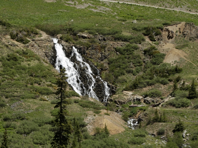
This is the same waterfall but from a distance.
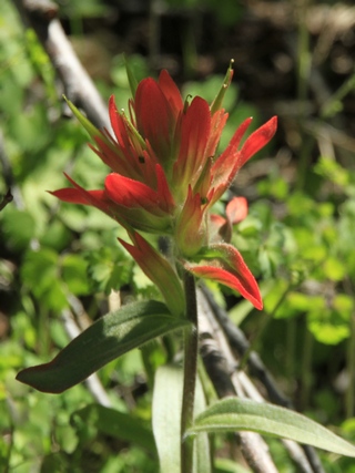
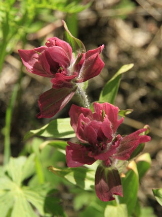
Two types of Indian Paintbrush.
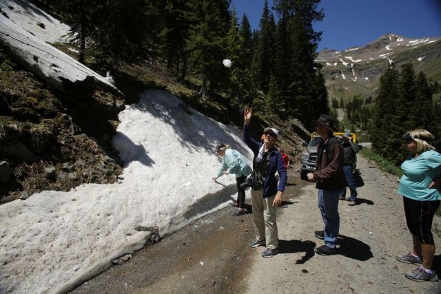
Snowball fight! The 2 young lads on the tour wanted to see snow, so the guide found us some snow.
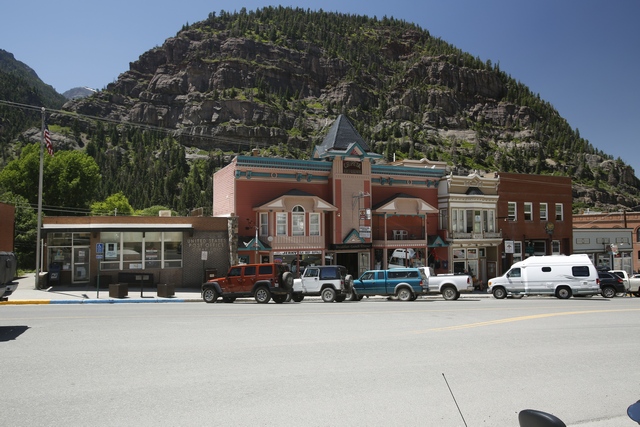
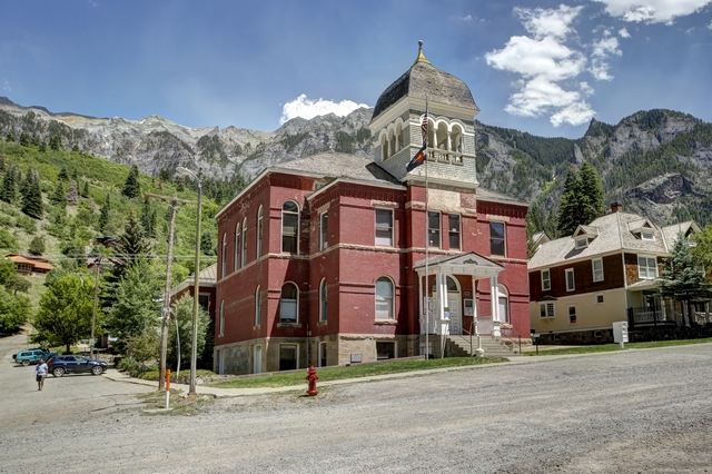
Some photos of Ouray. It's a cute little town.
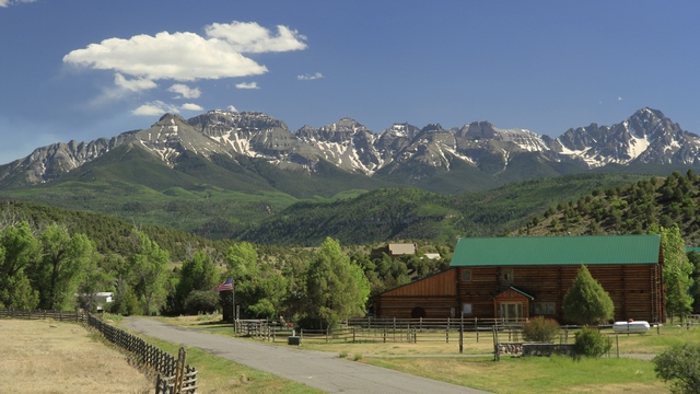
A mountain view from the highway near Ridgway.

This is the tour vehicle, a pickup truck with a modified back to sit 12 people.
Some of the beautiful views we saw today.

This is an active gold mine.


This is a disintegrating hammer mill. There were six layers of "hammers" that crushed the rock into a gravel size pieces.


This is the same waterfall but from a distance.


Two types of Indian Paintbrush.

Snowball fight! The 2 young lads on the tour wanted to see snow, so the guide found us some snow.
Some photos of Ouray. It's a cute little town.


A mountain view from the highway near Ridgway.
2018/06/07: Drive to Ouray
Category: General
Posted by: The Agnew Family
We looking for cooler temperatures so we're driving north into the mountains.
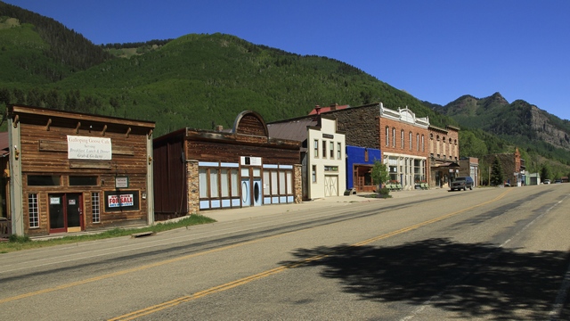
We drove through the town of Rico --- there's not a lot in town as most of the stores appear to be for sale or rent.
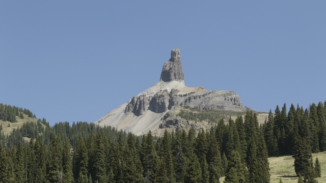
Interesting looking mountain peak with an interesting name. This is Lizard Head Peak.
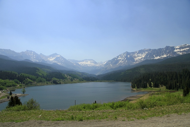
A cute lake along the road.
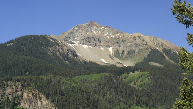
Another view from the car window.
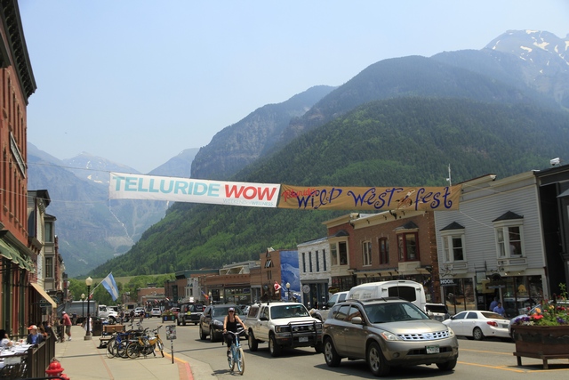
Telluride is a well known ski area so we thought we'd stop and check it out. Even in the summer it's a hopping place.
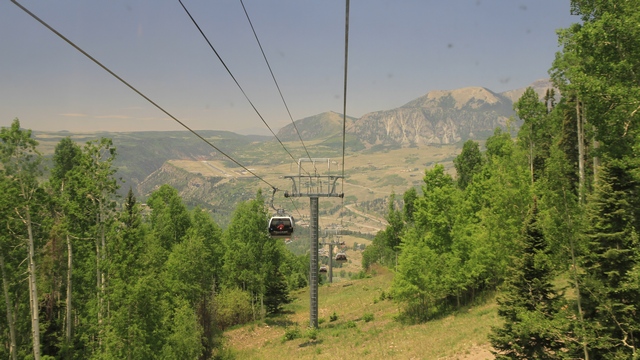
The gondola in Telluride is free. It will take you to the top of the mountain as well as down the other side to Mountain Village. A woman who rode the gondola with us lives in Mountain Village and works in Telluride and rides the gondola to work. Much better than sitting in rush hour traffic in Toronto.
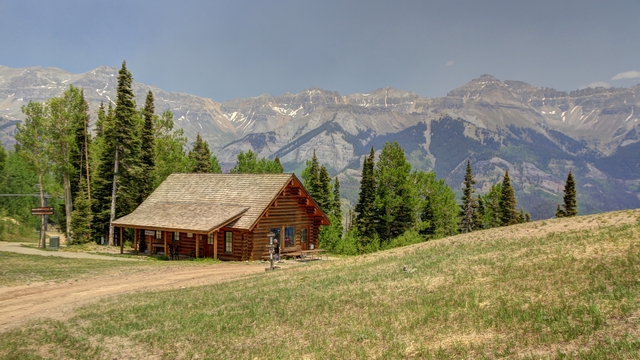
A view from the top. It's a little hazy today or should I say smokey? Depending on how the wind is blowing the smoke from the Durango fire can obscure the view.
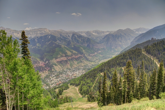
Another view from the top. That's Telluride at the bottom.
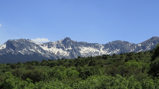
Further along our drive we saw some beautiful mountain views.
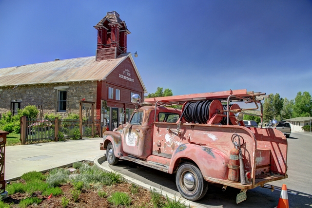
We stopped in Ridgway to pick up a few groceries and came across this old fire truck and fire hall. Many old westerns such as True Grit were filmed in Ridgway.
We finally arrived at the campground just outside of Ouray. Another beautiful spot.

We drove through the town of Rico --- there's not a lot in town as most of the stores appear to be for sale or rent.

Interesting looking mountain peak with an interesting name. This is Lizard Head Peak.

A cute lake along the road.

Another view from the car window.

Telluride is a well known ski area so we thought we'd stop and check it out. Even in the summer it's a hopping place.

The gondola in Telluride is free. It will take you to the top of the mountain as well as down the other side to Mountain Village. A woman who rode the gondola with us lives in Mountain Village and works in Telluride and rides the gondola to work. Much better than sitting in rush hour traffic in Toronto.

A view from the top. It's a little hazy today or should I say smokey? Depending on how the wind is blowing the smoke from the Durango fire can obscure the view.

Another view from the top. That's Telluride at the bottom.

Further along our drive we saw some beautiful mountain views.

We stopped in Ridgway to pick up a few groceries and came across this old fire truck and fire hall. Many old westerns such as True Grit were filmed in Ridgway.
We finally arrived at the campground just outside of Ouray. Another beautiful spot.
Category: General
Posted by: The Agnew Family
There aren't a lot of roads in the Canyon of the Ancients NM, but one circular route of roads (about 150km) takes you to 2 sites in the Canyon of the Ancients NM and it also takes you to Hovenweep National Monument. I know this is suppose to be a Colorado trip but Hovenweep is just a few miles into the state of Utah and we have to drive through Utah to complete the loop.
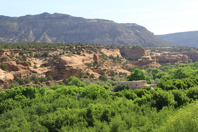
The scenery is a little different on this route compared to what we saw in Mesa Verde. I believe the building in the photo is a B&B, wouldn't that be a beautiful spot to stay.
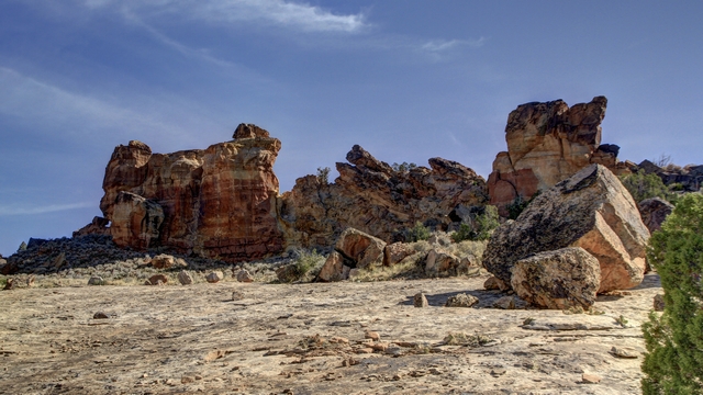
This is the start of the Sand Canyon Trail. It is a 6 mile trail that will take to you the Sand Canyon Pueblo that we visited yesterday.
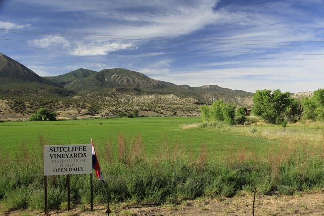
and this is across the road from the rocks. The grape vines were a couple of hundred feet up the road. This area is a lot greener than Mesa Verde because it has water and the fields are irrigated.
Hovenweep became a National Monument in 1923 and is administered by the National Park Service. Human habitation at Hovenweep dates to over 10,000 years ago when nomadic Paleoindians visited the Cajon Mesa to gather food and hunt game. By about 900 CE, people started to settle at Hovenweep year-round, planting and harvesting crops in the rich soil of the mesa top. By the late 1200s, the Hovenweep area was home to over 2,500 people.
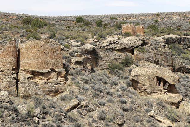
On the left side are the twin towers, on the lower right is the eroded boulder house and above that is rim rock house.
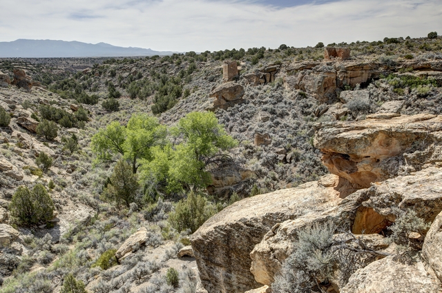
I found the vegetation here to be interesting, especially this bright green tree. I'm guessing the tree is by a spring.
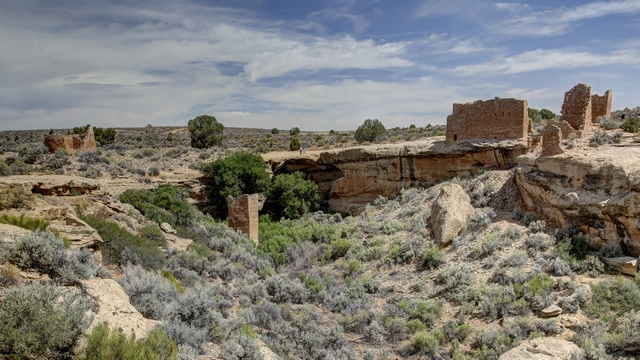
Starting at the left we have Hovenweep house, Square Tower (partway down the gulley) and Hovenweep Castle.
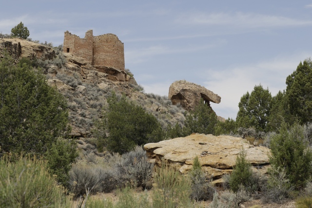
The trail took us down into the gully where we have a different view of the twin towers and eroded boulder house.
Leaving Hovenweep we drive back into Colorado and head for Painted Hand Pueblo. The directions indicated that we needed to turn on road 4531. We thought it was strange that there wasn't a sign but we turned anyway.
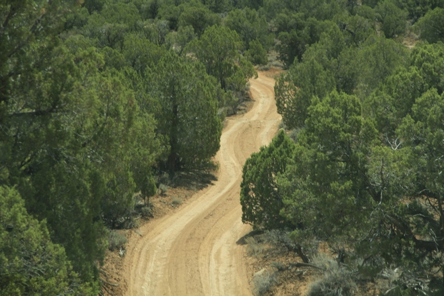
We put the truck into 4 wheel drive and continued down the road. When we came to a 40 foot high rock hill, common sense kicked in and we turned around. Turned out 4531 was a loop road and we should have waited to the 2nd turn off where there was a sign for the Painted Hand Pueblo. This part of the road was much better.
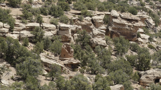
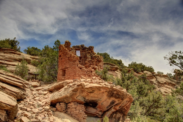
The tower at Painted Hand Pueblo from a distance. It was an interesting hike down to the tower.
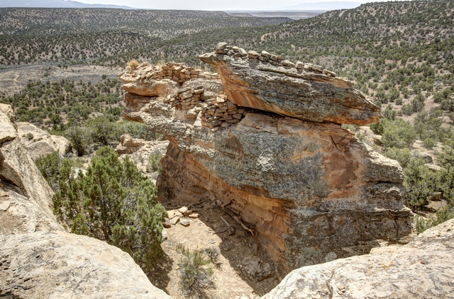
A pretty rock and view.
Made it to the tower. In the cliff area under the tower you can see a couple of faint hand prints thus the name Painted Hand Pueblo.
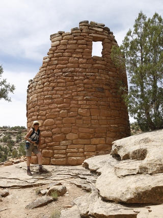
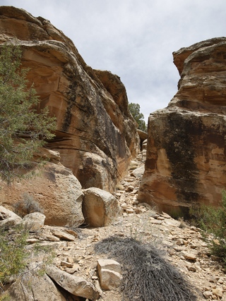
I stood beside the tower for height perspective. Part of the trail.
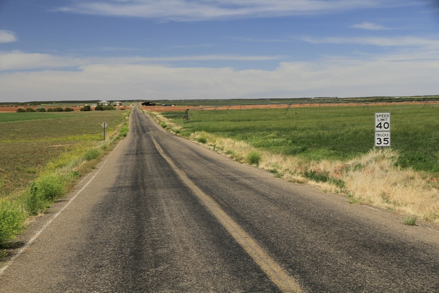
The landscape changed dramatically as we drove north and east to Lowry Pueblo. The road was mostly out of the national monument with active farms.
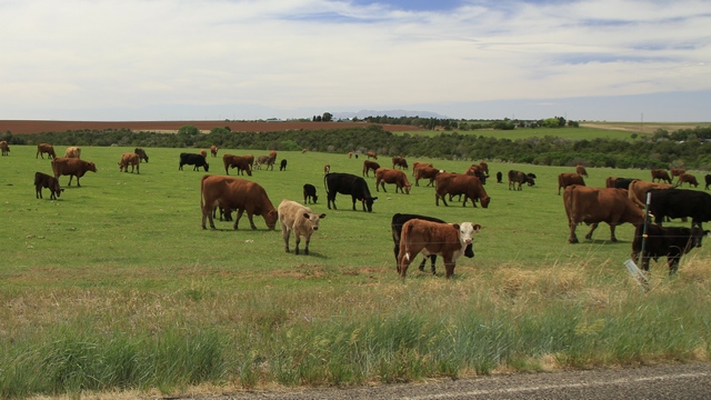
We saw a number of horses and these cattle. This road is also near water so most of the fields were being irrigated.
The last Puebloan ruin we visited was Lowry Pueblo.
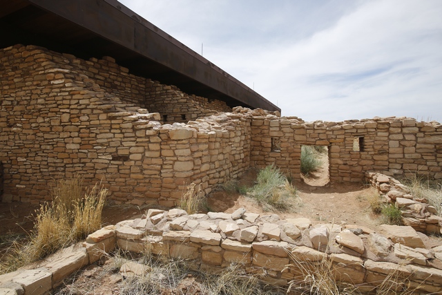
This pueblo had been stabilized allowing the public to walk around it, even into some of the rooms. The doorways are pretty small so some crawling was required.
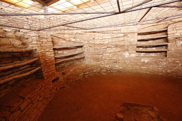
You were allowed inside to look at a small kiva.
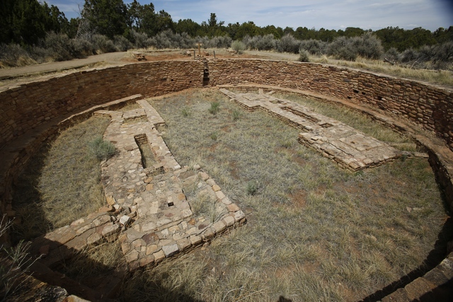
A great kiva, probably used for religious ceremonies.
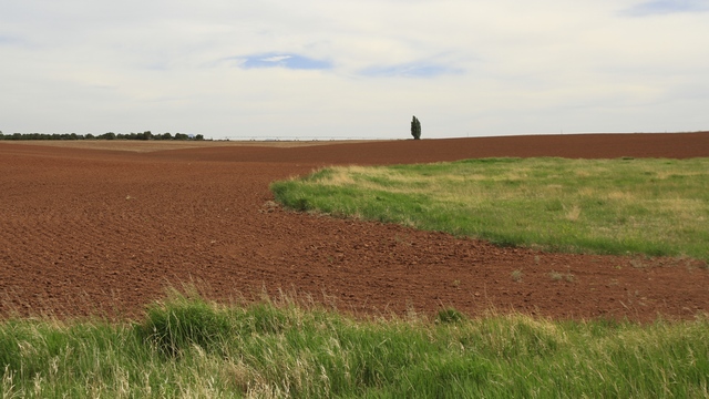
I found the fields very fascinating, especially the red soil.
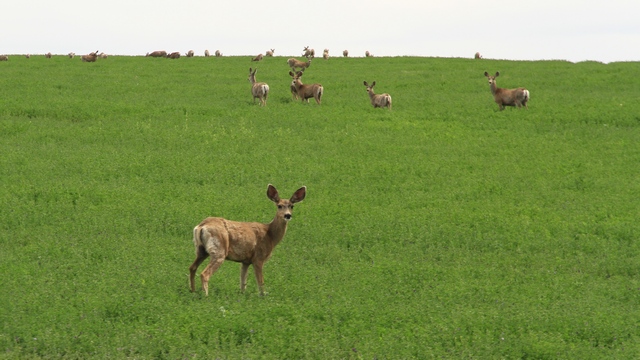
A herd of mule deer. They bounce when they run.
We can scratch an item off the bucket list ---- Mesa Verde and surrounding area is done.

The scenery is a little different on this route compared to what we saw in Mesa Verde. I believe the building in the photo is a B&B, wouldn't that be a beautiful spot to stay.

This is the start of the Sand Canyon Trail. It is a 6 mile trail that will take to you the Sand Canyon Pueblo that we visited yesterday.

and this is across the road from the rocks. The grape vines were a couple of hundred feet up the road. This area is a lot greener than Mesa Verde because it has water and the fields are irrigated.
Hovenweep became a National Monument in 1923 and is administered by the National Park Service. Human habitation at Hovenweep dates to over 10,000 years ago when nomadic Paleoindians visited the Cajon Mesa to gather food and hunt game. By about 900 CE, people started to settle at Hovenweep year-round, planting and harvesting crops in the rich soil of the mesa top. By the late 1200s, the Hovenweep area was home to over 2,500 people.

On the left side are the twin towers, on the lower right is the eroded boulder house and above that is rim rock house.

I found the vegetation here to be interesting, especially this bright green tree. I'm guessing the tree is by a spring.

Starting at the left we have Hovenweep house, Square Tower (partway down the gulley) and Hovenweep Castle.

The trail took us down into the gully where we have a different view of the twin towers and eroded boulder house.
Leaving Hovenweep we drive back into Colorado and head for Painted Hand Pueblo. The directions indicated that we needed to turn on road 4531. We thought it was strange that there wasn't a sign but we turned anyway.

We put the truck into 4 wheel drive and continued down the road. When we came to a 40 foot high rock hill, common sense kicked in and we turned around. Turned out 4531 was a loop road and we should have waited to the 2nd turn off where there was a sign for the Painted Hand Pueblo. This part of the road was much better.

The tower at Painted Hand Pueblo from a distance. It was an interesting hike down to the tower.

A pretty rock and view.

Made it to the tower. In the cliff area under the tower you can see a couple of faint hand prints thus the name Painted Hand Pueblo.


I stood beside the tower for height perspective. Part of the trail.

The landscape changed dramatically as we drove north and east to Lowry Pueblo. The road was mostly out of the national monument with active farms.

We saw a number of horses and these cattle. This road is also near water so most of the fields were being irrigated.
The last Puebloan ruin we visited was Lowry Pueblo.

This pueblo had been stabilized allowing the public to walk around it, even into some of the rooms. The doorways are pretty small so some crawling was required.

You were allowed inside to look at a small kiva.

A great kiva, probably used for religious ceremonies.

I found the fields very fascinating, especially the red soil.

A herd of mule deer. They bounce when they run.
We can scratch an item off the bucket list ---- Mesa Verde and surrounding area is done.
2018/06/05: Canyons of the Ancients Visitor Center
Category: General
Posted by: The Agnew Family
Today we took it easy. First a visit to the Canyons of the Ancients Visitor Center followed by a nice lunch at a Mexican restaurant in Dolores. In the afternoon we took a drive over the the Canyons of the Ancients National Monument to see the ruins of Sand Canyon Pueblo.
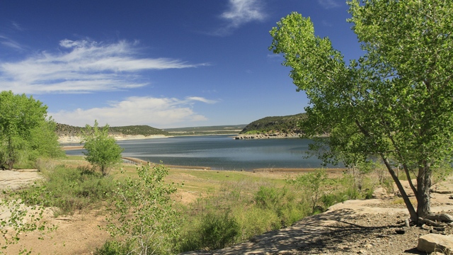
The McPhee Reservoir was created when the Dolores River was dammed. Before the dam could be built a huge archaeological project was undertaken documenting ancient homes and removing artifacts than are stored and displayed at the Canyons of the Ancients Visitor Center.
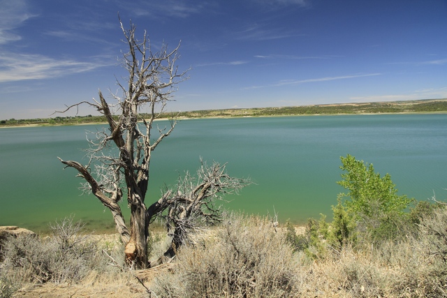
Couldn't resist water photographs after all of the arid landscapes. This is the Narraguinnep Reservoir, a little west of the McPhee Reservoir.
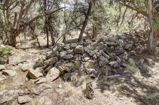
The Sand Canyon Puebloan Village has been studied by archaeologists but instead of stabilizing the ruins they filled them back in. There are a number of interpretive signs showing the village layout but it left to your imagination to picture the buildings themselves.

The McPhee Reservoir was created when the Dolores River was dammed. Before the dam could be built a huge archaeological project was undertaken documenting ancient homes and removing artifacts than are stored and displayed at the Canyons of the Ancients Visitor Center.

Couldn't resist water photographs after all of the arid landscapes. This is the Narraguinnep Reservoir, a little west of the McPhee Reservoir.

The Sand Canyon Puebloan Village has been studied by archaeologists but instead of stabilizing the ruins they filled them back in. There are a number of interpretive signs showing the village layout but it left to your imagination to picture the buildings themselves.
2018/06/04: Mesa Verde - Day 2
Category: General
Posted by: The Agnew Family
Itís back to Mesa Verde today to tour the Chapin Mesa. We start the day with a tour of Balcony House. Ed really wanted to do this tour and I agreed even though it meant I would have to climb a 32 foot ladder, crawl through an 18-inch wide by 12 foot long tunnel and climb up a 60-foot open cliff face with stone steps and two 10-foot ladders to exit. Iím not great at heights or tight spaces but the tour made it worth while.

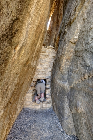
One of the shorter ladders and the tunnel. The tunnel wasn't too bad as you could see the other end.
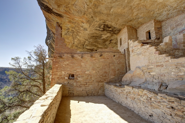
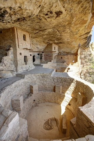
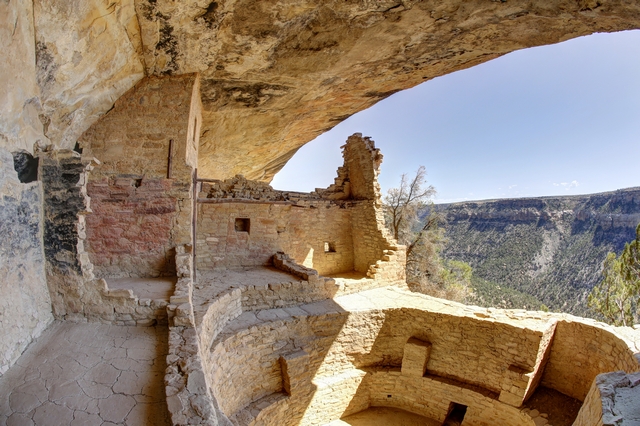
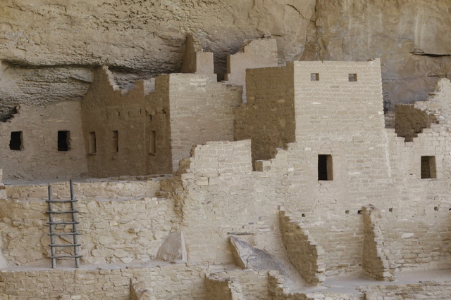
A few photos of Balcony House, which is a "medium sized" cliff dwelling with 40 rooms. Cliff dwellings are crafted of sandstone, wooden beams and mortar. Much of the remains are original but over the past hundred years rubble has been removed and some restoration and stabilization done.
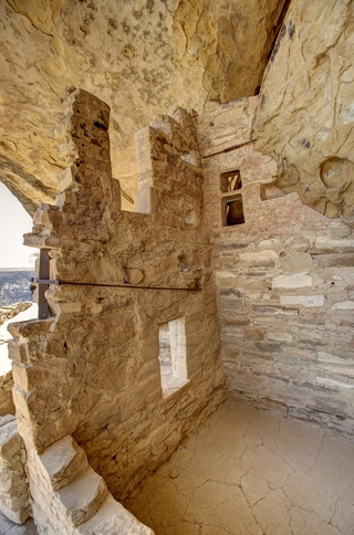
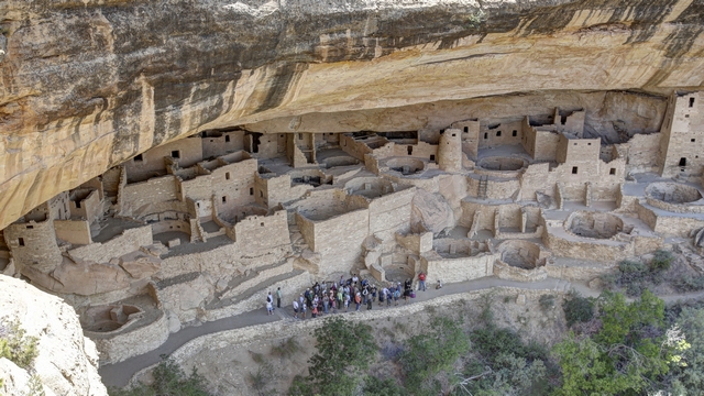
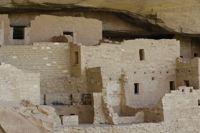
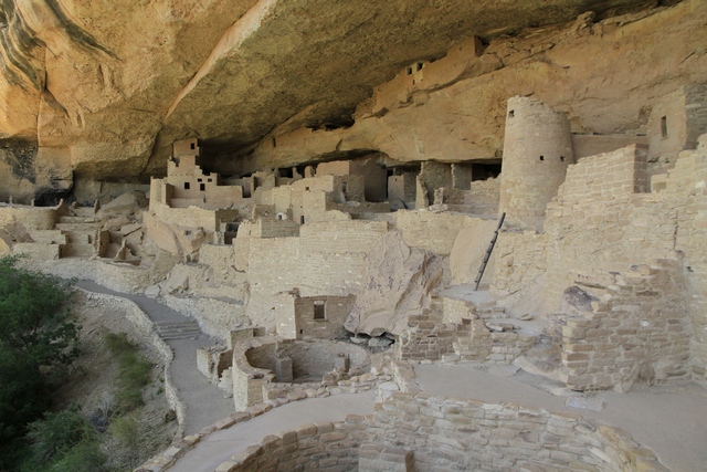
We also decided to tour Mesa Verdeís largest cliff dwelling Cliff Palace which has over 150 individual rooms and more than 20 kivas (rooms for religious rituals). This tour involved descending uneven stone steps and climbing four ten foot ladders. I couldnít make any complaints about this as a little girl that I guess was three years old did it without any help.
Just down the road from Balcony House is an area where Native Americans have set up a market of sorts. We stopped and were happy to see that fry bread was being sold.
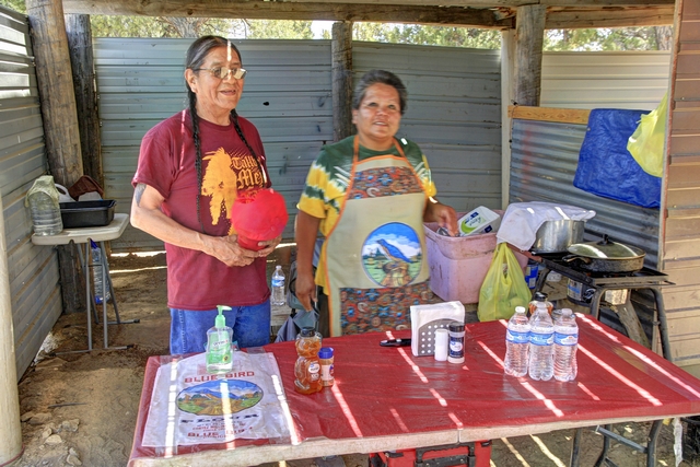
This couple sold us the delicious fry bread.
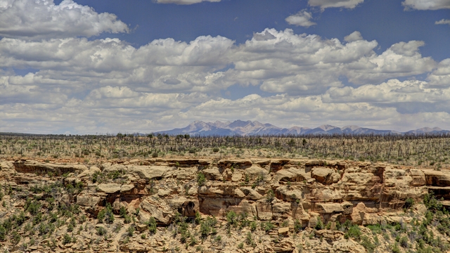
One of the many wonderful views we saw today as we drove through Chapin Mesa. From a distance saw at least a dozen cliff dwellings including the famous Spruce House. We also saw the remains of a number of pit houses and visited the informative museum.


One of the shorter ladders and the tunnel. The tunnel wasn't too bad as you could see the other end.
A few photos of Balcony House, which is a "medium sized" cliff dwelling with 40 rooms. Cliff dwellings are crafted of sandstone, wooden beams and mortar. Much of the remains are original but over the past hundred years rubble has been removed and some restoration and stabilization done.


We also decided to tour Mesa Verdeís largest cliff dwelling Cliff Palace which has over 150 individual rooms and more than 20 kivas (rooms for religious rituals). This tour involved descending uneven stone steps and climbing four ten foot ladders. I couldnít make any complaints about this as a little girl that I guess was three years old did it without any help.


Just down the road from Balcony House is an area where Native Americans have set up a market of sorts. We stopped and were happy to see that fry bread was being sold.

This couple sold us the delicious fry bread.

One of the many wonderful views we saw today as we drove through Chapin Mesa. From a distance saw at least a dozen cliff dwellings including the famous Spruce House. We also saw the remains of a number of pit houses and visited the informative museum.
2018/06/03: Mesa Verde - Day 1
Category: General
Posted by: The Agnew Family
Mesa Verde National Park preserves the record of the Ancestral Pueblo people who made this place their home for more than 750 years. Mesa Verde consists of 52,000 acres of amazing landscape protecting nearly 5,000 archeological sites, including nearly 600 cliff dwellings.
The portion of the park that is open to the public include 2 mesas ---- Wetherill Mesa and Chapin Mesa. Today we opted to drive to Wetherill Mesa and visit the sites there.
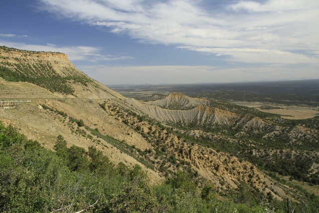
There was no question today, Ed was doing the driving. Too many ups and downs and twists and turns for me, besides it's Ed's favourite kind of road.
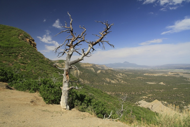
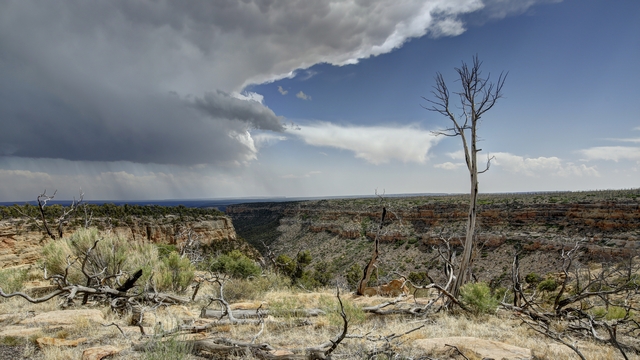
There are a lot of burned trees in the park, in fact over 70% of the park has been in a forest since 1906 when Mesa Verde became a national park. Mesa Verde is prone to lightning strikes - receiving up to 100 strikes in a 24-hour period during the summer.
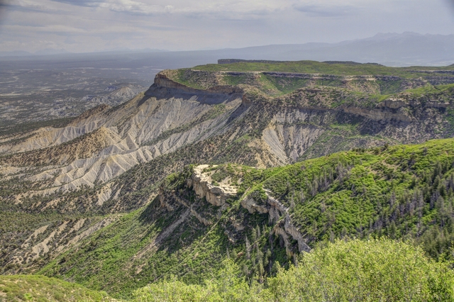
Park Point is the highest point in the park and home to a manned (in the summer months) fire tower as you can see in every direction. This is one of the views.
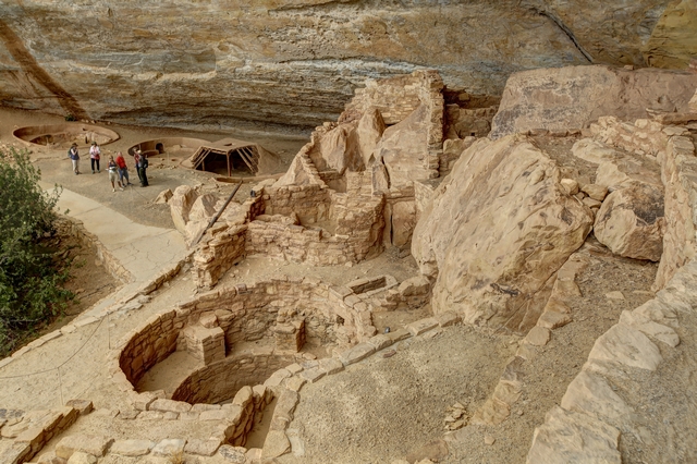
Step House is the only ancient dwelling that does not require to a guided tour to visit it, though a ranger is available to answer questions. This is an unusual site as there are two separate construction periods in the same alcove, early Basketmaker pit houses built about 620 CE and a masonry pueblo dating to 1226 CE.
The Long House Loop Trail takes you through the Badger House Community and to overlooks of three cliff dwellings.
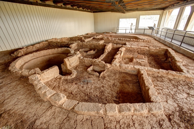
This Kiva in the Badger House Community was built about 1032 CE. They think this was during a period of transition, changing the pit home from family dwellings to building for special functions.
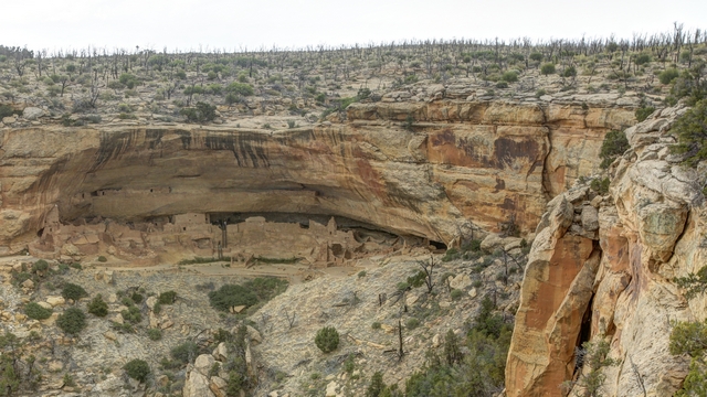
Long house
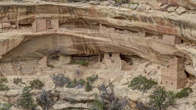
Kodak House
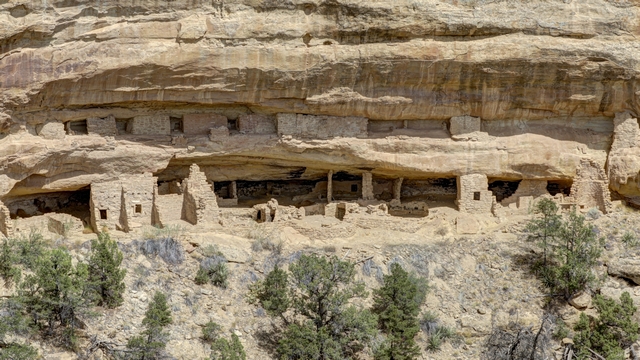
Nordenskiold Site #16
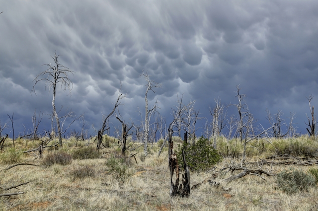
It was cooler today, only in the mid 70s with some cloud cover and a thunderstorm was expected in the afternoon. We were half way around an 8 km (5 mi) loop trail when we started to feel rain drops. The sky was dark and there was lots of rumbling, but somehow we only received a few minutes of light rain before the sun was shining again.
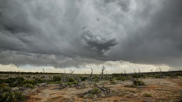
I think Ed managed to get some dramatic photos of the clouds. Hopefully someone received more rain than we did.
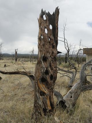
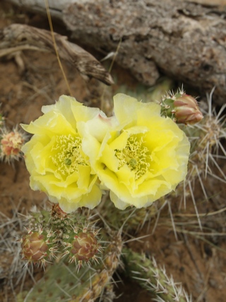
Interesting tree stump and some flowering prickly pear cactus.
The portion of the park that is open to the public include 2 mesas ---- Wetherill Mesa and Chapin Mesa. Today we opted to drive to Wetherill Mesa and visit the sites there.

There was no question today, Ed was doing the driving. Too many ups and downs and twists and turns for me, besides it's Ed's favourite kind of road.

There are a lot of burned trees in the park, in fact over 70% of the park has been in a forest since 1906 when Mesa Verde became a national park. Mesa Verde is prone to lightning strikes - receiving up to 100 strikes in a 24-hour period during the summer.

Park Point is the highest point in the park and home to a manned (in the summer months) fire tower as you can see in every direction. This is one of the views.

Step House is the only ancient dwelling that does not require to a guided tour to visit it, though a ranger is available to answer questions. This is an unusual site as there are two separate construction periods in the same alcove, early Basketmaker pit houses built about 620 CE and a masonry pueblo dating to 1226 CE.
The Long House Loop Trail takes you through the Badger House Community and to overlooks of three cliff dwellings.

This Kiva in the Badger House Community was built about 1032 CE. They think this was during a period of transition, changing the pit home from family dwellings to building for special functions.

Long house

Kodak House

Nordenskiold Site #16
It was cooler today, only in the mid 70s with some cloud cover and a thunderstorm was expected in the afternoon. We were half way around an 8 km (5 mi) loop trail when we started to feel rain drops. The sky was dark and there was lots of rumbling, but somehow we only received a few minutes of light rain before the sun was shining again.

I think Ed managed to get some dramatic photos of the clouds. Hopefully someone received more rain than we did.


Interesting tree stump and some flowering prickly pear cactus.
2018/06/02: Chimney Rock National Monument
Category: General
Posted by: The Agnew Family
Today we are driving to a campground just outside of Mesa Verde National Park. We opted to stay at a private park instead of in the NP because of electricity. Weíre planning on staying in the area for at least four nights and I donít think Iíd last that long at the ďdryĒ campsite in the NP (no water and no electricity). Electricity is the important component as it allows us to run our electric cooler and use our computers to back up all the photos Ed takes and to keep in touch via our blog and e-mail.
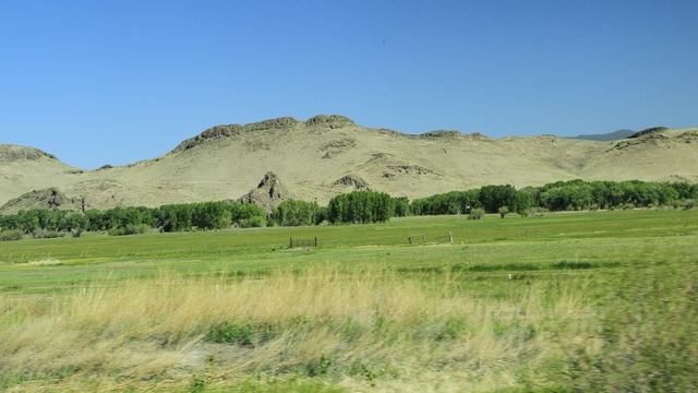
We started the day with a drive through the scenic San Luis Valley and continued through the beautiful San Juan Mountains.
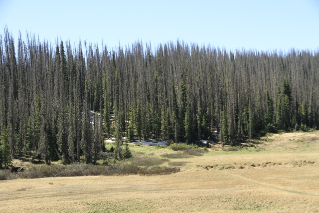
The highway took us through Wolf Creek Pass at 10,857 feet. Even though this area didn't have a lot of snow last year, you can see a bit of snow in the trees. Wolf Creek Pass is also on the Continental Divide. All water to the west runs to the Pacific Ocean, where all water to the east runs to the Atlantic Ocean (includes the Gulf of Mexico).
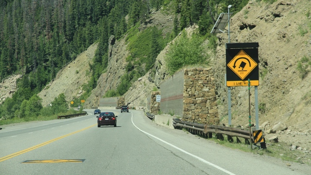
I always love the signs for truckers. In true mountain pass form there were runaway truck ramps.
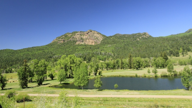
West of the mountains is a little greener.
We stopped at Chimney Rock National Monument outside of Pagosa Springs. Chimney Rock is the name of a rock formation but more importantly it is the name associated with an Ancestral Puebloan village. It is not understood why the village was built high in the mountains but it is assumed that it had to do with astronomical alignments of the rock towers with the sun and more importantly the moon. Archaeologists also do not understand why the village was abruptly abandoned. Chimney Rock NM is managed by the USDA Forest Service and was proclaimed a national monument in September 21, 2012.
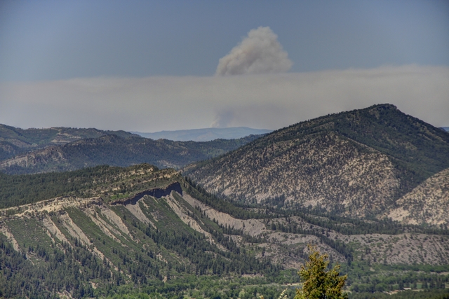
Standing at the edge of the village looking to the northeast we can see the smoke of the fire in Durango. We spent some time talking to a ranger and he told us that the southwest is in an extreme drought. In fact one jurisdiction of the national forest declared itself at level 3, which means the forests are closed to the public. The ranger said this wasn't due to worsening conditions but to the fact that more than 20 campfires were found unattended, any of which could have caused a forest fire.
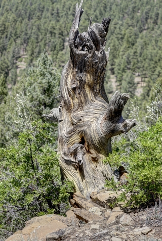
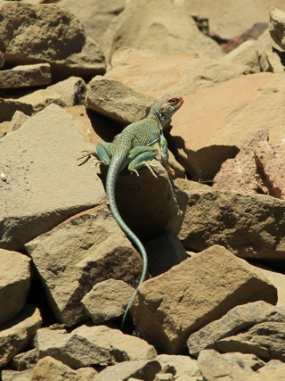
An old tree stump and a lizard.
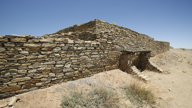
This is the outside wall of the great pueblo. Much of the wall has been maintained over the years, but the section protected by the short walls and roof is original.
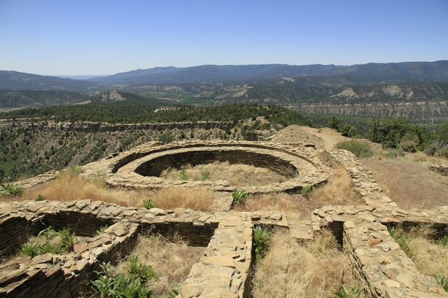
Chimney Rock represents one of the largest Pueblo II (900-1150 AD) communities in southwestern Colorado and is considered a Chacoan cultural ďoutlier.Ē The Chaco phenomenon was a complex system of dispersed communities bound by economic, political and religious interdependence centered in Chaco Canyon, New Mexico. (borrowed from the national forest website).
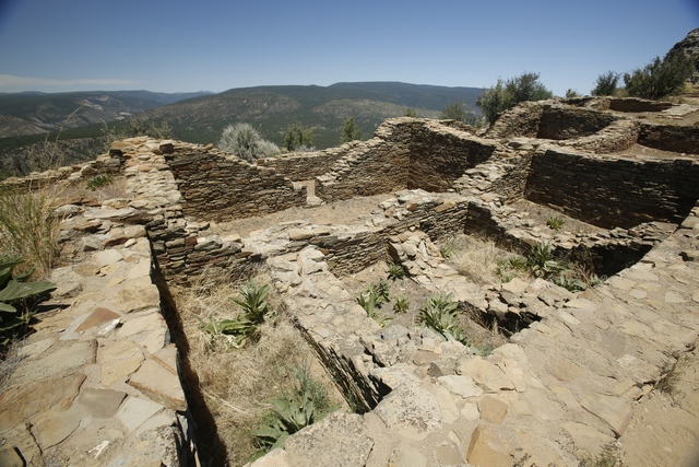
When the Ancestral Puebloans abandoned the village was burned leaving only the rock foundations.
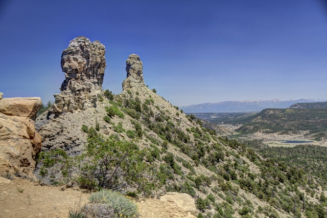
Chimney Rock from the great pueblo.
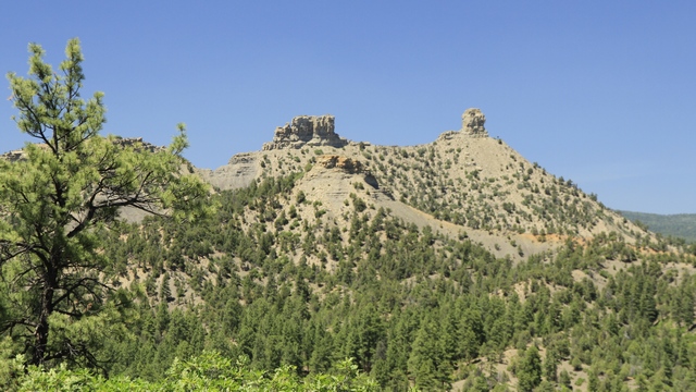
Chimney Rock from below.
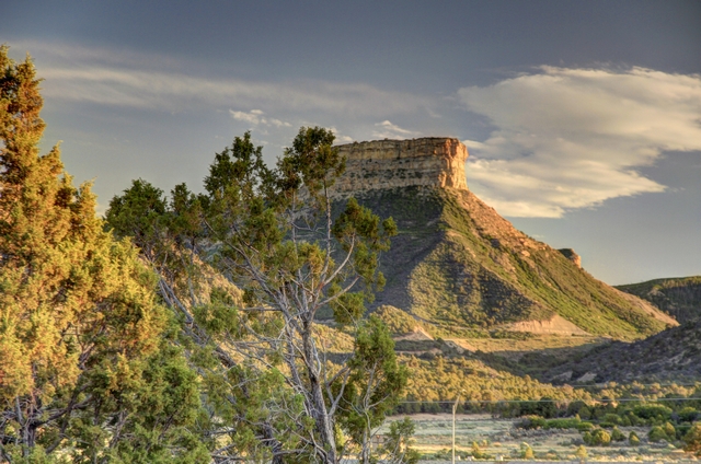
The view from our campsite.

We started the day with a drive through the scenic San Luis Valley and continued through the beautiful San Juan Mountains.

The highway took us through Wolf Creek Pass at 10,857 feet. Even though this area didn't have a lot of snow last year, you can see a bit of snow in the trees. Wolf Creek Pass is also on the Continental Divide. All water to the west runs to the Pacific Ocean, where all water to the east runs to the Atlantic Ocean (includes the Gulf of Mexico).

I always love the signs for truckers. In true mountain pass form there were runaway truck ramps.

West of the mountains is a little greener.
We stopped at Chimney Rock National Monument outside of Pagosa Springs. Chimney Rock is the name of a rock formation but more importantly it is the name associated with an Ancestral Puebloan village. It is not understood why the village was built high in the mountains but it is assumed that it had to do with astronomical alignments of the rock towers with the sun and more importantly the moon. Archaeologists also do not understand why the village was abruptly abandoned. Chimney Rock NM is managed by the USDA Forest Service and was proclaimed a national monument in September 21, 2012.

Standing at the edge of the village looking to the northeast we can see the smoke of the fire in Durango. We spent some time talking to a ranger and he told us that the southwest is in an extreme drought. In fact one jurisdiction of the national forest declared itself at level 3, which means the forests are closed to the public. The ranger said this wasn't due to worsening conditions but to the fact that more than 20 campfires were found unattended, any of which could have caused a forest fire.


An old tree stump and a lizard.

This is the outside wall of the great pueblo. Much of the wall has been maintained over the years, but the section protected by the short walls and roof is original.

Chimney Rock represents one of the largest Pueblo II (900-1150 AD) communities in southwestern Colorado and is considered a Chacoan cultural ďoutlier.Ē The Chaco phenomenon was a complex system of dispersed communities bound by economic, political and religious interdependence centered in Chaco Canyon, New Mexico. (borrowed from the national forest website).
When the Ancestral Puebloans abandoned the village was burned leaving only the rock foundations.


Chimney Rock from the great pueblo.

Chimney Rock from below.

The view from our campsite.
2018/06/01: Sand Dunes and Waterfalls
Category: General
Posted by: The Agnew Family
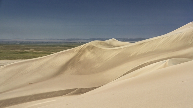
Did you know that Colorado is the home to the tallest sand dunes in North America? I didnít, in fact I was surprised when I saw Great Sand Dunes National Park in some Colorado tourist information I was reading. The NP is about a half hour north east of the town of Alamosa.
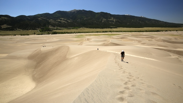
That's me about 1/4 of the way to the first ridge.
Some history on the dunes straight from the NP brochure (with a bit of editing). Wind and water move sand, continually forming dunes. Most sand comes from the San Juan Mountains, over 65 miles to the west. Larger, rougher grains and pebbles come from the Sangre de Cristo Mountains (just east of the dunes) . Sand and sediments from both ranges washed into a huge lake once covering the valley floor. As the lake reduced, prevailing southwesterly winds bounced the sand grains to be piled up beneath the Sangre de Cristos. Storm winds from the northeast blast through mountain passes, piling dunes back on themselves, creating North Americaís tallest dunes. A video also explained to us that the winter snow high in the Sangre de Cristos melts in the spring creating 2 creeks that carry sand down from the mountains. The creeks surround the dunes. When the creek beds dry up, the southwesterly winds blow the sand into the dunes. Unfortunately, this part of Colorado didn't have much snow last winter so the creek is already dry.
This area is very interesting as it has a mountain range, sand dunes and wetlands. Even though this area receives very little rain each year, the melting snow has created an aquifer beneath the surface creating wetlands just west of the sand dunes.
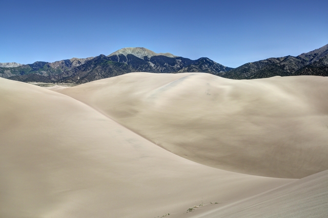
Looking up the dunes. You can see the Sangre de Cristos mountains in the background.
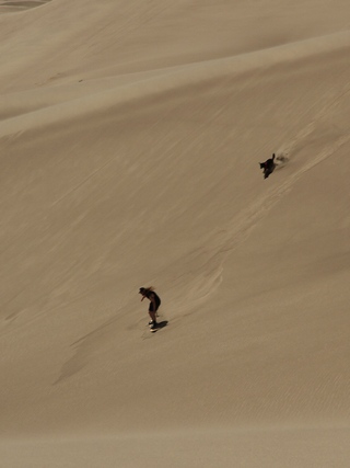
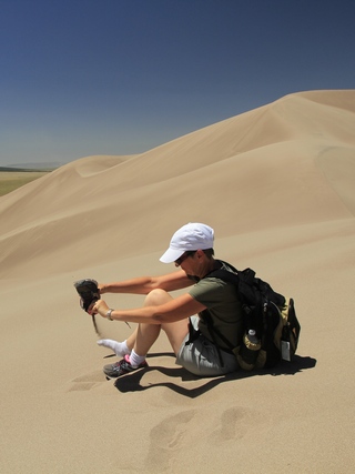
One of the fun things to do on the dunes is toboggan or sand board down them. This fellows dog joined in on the fun. Note to self don't wear running shoes with mesh on the top when hiking in sand dunes. I think I had a cup of sand in both shoes.
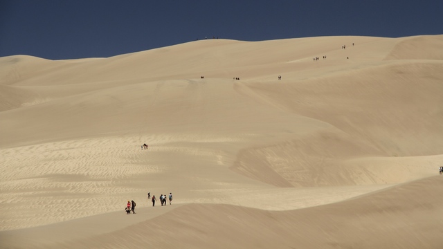
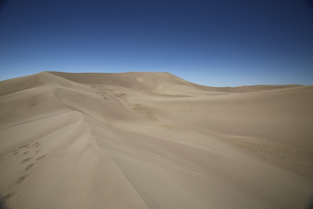
Looking back at where we had hiked. In the middle of the photo at the top of the ridge is some people. Well, that's where we hiked to. It's the first ridge.
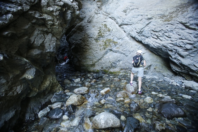
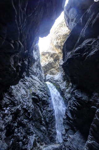
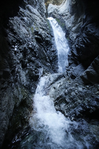
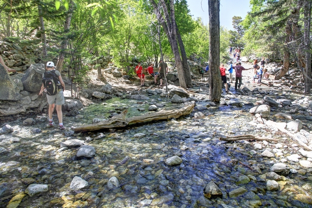
After driving about 5 km up a rough gravel road into the mountains, you reach the parking lot for the Zapata Waterfalls trail. The trail is about 0.4 km ending at a creek. To see the falls you tromp through the ice cold creek into a slot canyon where the water has slowly cut a channel through the rock creating the waterfalls. Our running shoes had been filled with sand at the dunes so they were sort of cleaned as we walked in the creek. The cold water did make my feet feel better. As there is no humidity here it shouldnít take long for the shoes to dry. The weather network indicates a high of 28 C but feels like 27 C --- a little different then what weíre use to.

That's me about 1/4 of the way to the first ridge.
Some history on the dunes straight from the NP brochure (with a bit of editing). Wind and water move sand, continually forming dunes. Most sand comes from the San Juan Mountains, over 65 miles to the west. Larger, rougher grains and pebbles come from the Sangre de Cristo Mountains (just east of the dunes) . Sand and sediments from both ranges washed into a huge lake once covering the valley floor. As the lake reduced, prevailing southwesterly winds bounced the sand grains to be piled up beneath the Sangre de Cristos. Storm winds from the northeast blast through mountain passes, piling dunes back on themselves, creating North Americaís tallest dunes. A video also explained to us that the winter snow high in the Sangre de Cristos melts in the spring creating 2 creeks that carry sand down from the mountains. The creeks surround the dunes. When the creek beds dry up, the southwesterly winds blow the sand into the dunes. Unfortunately, this part of Colorado didn't have much snow last winter so the creek is already dry.
This area is very interesting as it has a mountain range, sand dunes and wetlands. Even though this area receives very little rain each year, the melting snow has created an aquifer beneath the surface creating wetlands just west of the sand dunes.

Looking up the dunes. You can see the Sangre de Cristos mountains in the background.


One of the fun things to do on the dunes is toboggan or sand board down them. This fellows dog joined in on the fun. Note to self don't wear running shoes with mesh on the top when hiking in sand dunes. I think I had a cup of sand in both shoes.

Looking back at where we had hiked. In the middle of the photo at the top of the ridge is some people. Well, that's where we hiked to. It's the first ridge.
After driving about 5 km up a rough gravel road into the mountains, you reach the parking lot for the Zapata Waterfalls trail. The trail is about 0.4 km ending at a creek. To see the falls you tromp through the ice cold creek into a slot canyon where the water has slowly cut a channel through the rock creating the waterfalls. Our running shoes had been filled with sand at the dunes so they were sort of cleaned as we walked in the creek. The cold water did make my feet feel better. As there is no humidity here it shouldnít take long for the shoes to dry. The weather network indicates a high of 28 C but feels like 27 C --- a little different then what weíre use to.


