10/06: Drive to Grand Junction
Category: General
Posted by: The Agnew Family
Today we are driving the Unaweep Tabeguache scenic drive (donít ask me to pronounce it) from Placerville to Whitewater. At first the drive seemed to be more of the same but it didnít take long to prove that this road was definitely worth driving.
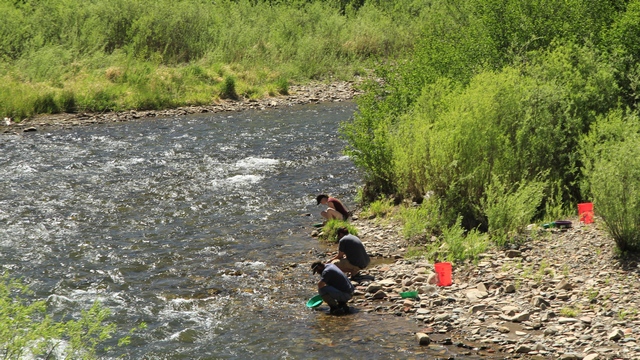
Yup, people really do pan for gold in the rivers and creeks of Colorado.
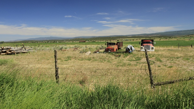
After driving in the bottom of a canyon for a while the road climbed out onto the plains.
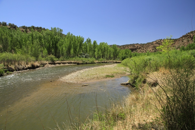
A lot of the drive was along the Dolores River. It was interesting to see trees and lots of green vegetation along the river then look across the road to see a dry landscape with short shrubs.

One area along the route had a lot of Uranium mines. The mines closed back in the 1980s and the canyon was restored back to itís natural beauty. It is interesting to see all of the colours in the rock.
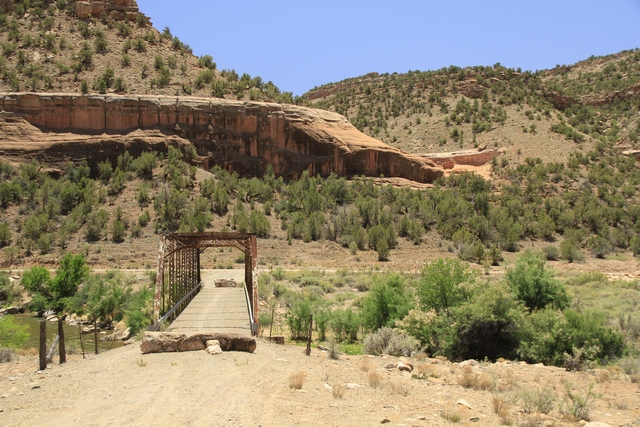
An old bridge that obviously isnít used by cars.
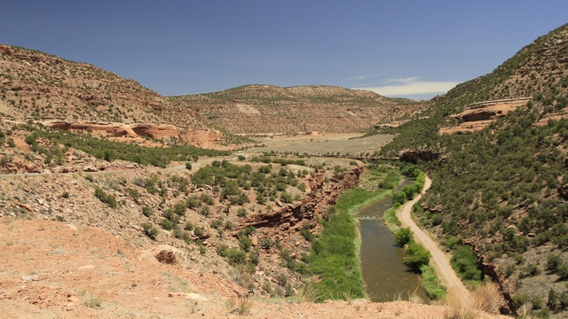
Another river scene.
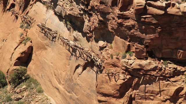
The remains of a 1880ish ďhanging flumeĒ that was used to transfer water from the river to a placer mine about 4 miles away.
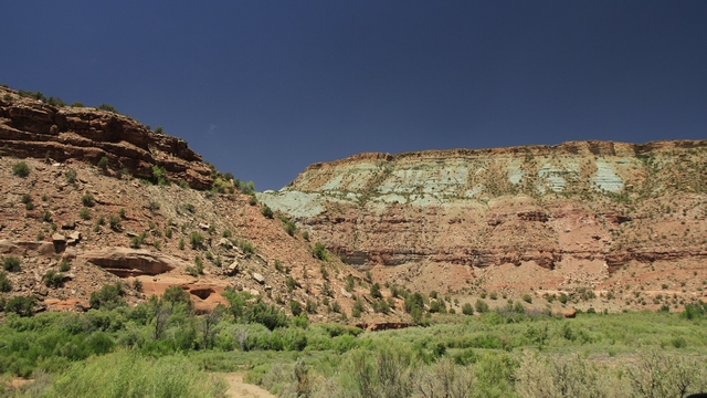
More pretty coloured rock.
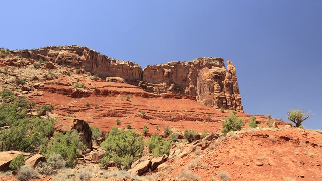
After a while we were driving in the bottom of a canyon beside the Dolores River with step red rock walls on both sides.
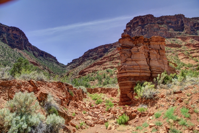
Interesting formations.
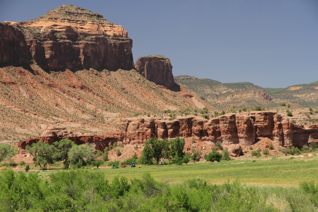
Interesting farm ---- hay fields with an amazing back drop. The little specks are farm equipment and a round bail of hay.
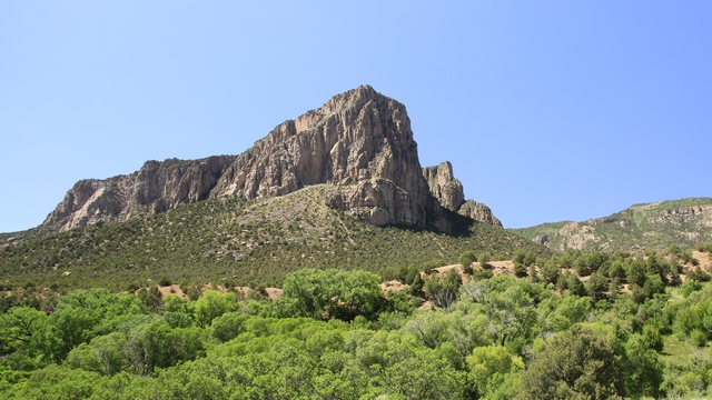
The type of rock changed again.
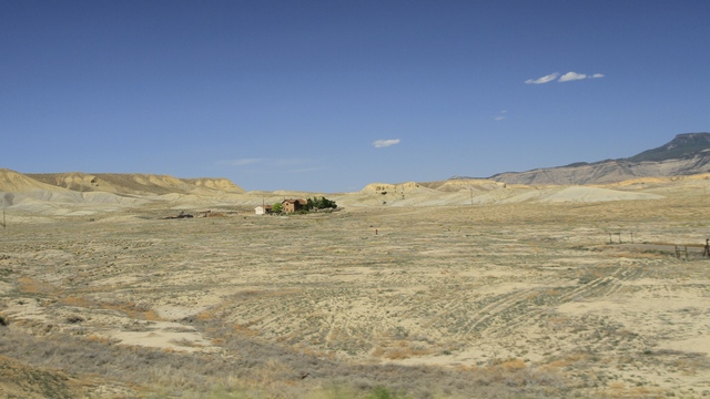
When we left the scenic drive and turned on the highway to drive to Grand Junction, we saw this landscape. Looks a little like the moon to me.

Yup, people really do pan for gold in the rivers and creeks of Colorado.

After driving in the bottom of a canyon for a while the road climbed out onto the plains.

A lot of the drive was along the Dolores River. It was interesting to see trees and lots of green vegetation along the river then look across the road to see a dry landscape with short shrubs.

One area along the route had a lot of Uranium mines. The mines closed back in the 1980s and the canyon was restored back to itís natural beauty. It is interesting to see all of the colours in the rock.

An old bridge that obviously isnít used by cars.

Another river scene.

The remains of a 1880ish ďhanging flumeĒ that was used to transfer water from the river to a placer mine about 4 miles away.

More pretty coloured rock.

After a while we were driving in the bottom of a canyon beside the Dolores River with step red rock walls on both sides.

Interesting formations.

Interesting farm ---- hay fields with an amazing back drop. The little specks are farm equipment and a round bail of hay.

The type of rock changed again.

When we left the scenic drive and turned on the highway to drive to Grand Junction, we saw this landscape. Looks a little like the moon to me.