11/06: Colorado National Monument
Category: General
Posted by: The Agnew Family
An update to a posting from a couple of days ago. There are three theories of how the Million Dollar Highway got it's name. One explanation is that an early traveler was so overcome by vertigo on the steep and winding stretch of road that he insisted he would never travel it again, even if he was paid a million dollars. Another explanation is that the construction of the road in the 1930's cost one million dollars per mile, or that the land cost a total of a million. My favourite theory is the name has to do with the fact that builders used gravel from the nearby silver and gold mines and that the dirt was so rich in ore, it was worth a million. The gravel on the road we drove on the truck tour was tailings from the local mines so as the guide put it we were driving on a highway paved with gold and silver. Now on to today.
The Colorado National Monument was created in 1911. It is 32 square miles of rugged up and down terrain with towering masses of naturally sculpted rock.
We started the morning with a 3 km hike up a hill quickly followed by a 3 km down a hill. We think this is a trail that a lot of the locals hike on a regular basis as it's close to the park entrance and a number of homes. Some of the sites on our hike.
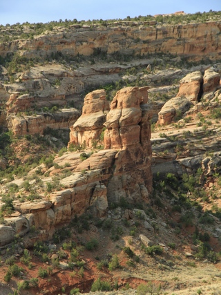
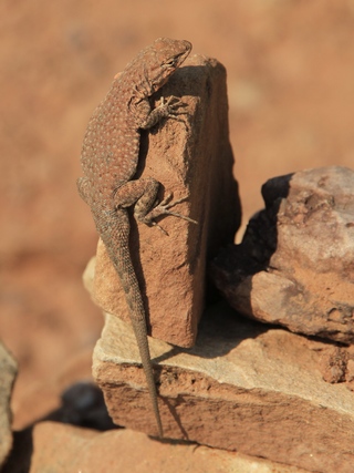
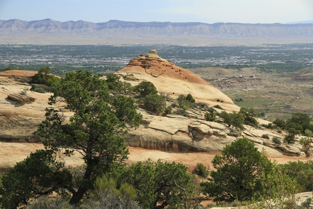
The 23 mile Rim Rock Drive climbs from the Colorado River to to the park's high country, then winds along the plateau rim. The views are incredible making it really difficult to choose photos.
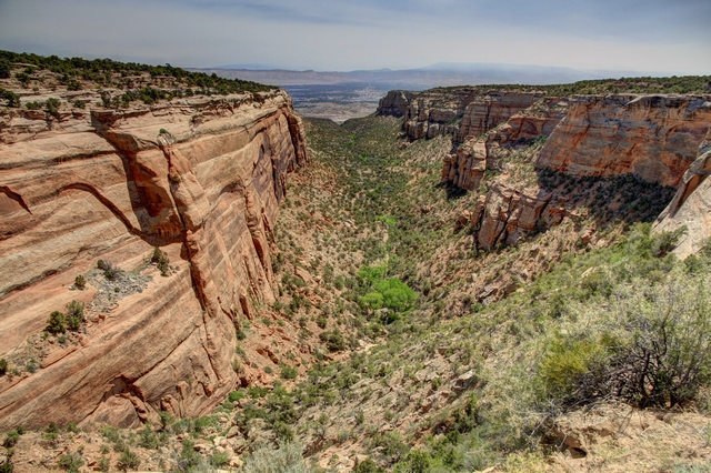
Red Canyon Overlook
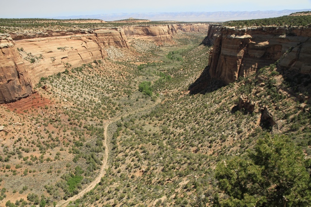
Ute Canyon Overlook. What looks like a road at the bottom of the canyon is actually a dry creek bed that is until it rains.
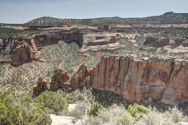
At Artists Point the colour that paints the Monument's landscape is part due to the colour of the minerals in the rocks as well as the kinds of lichens and chemical compounds that coat their surfaces.
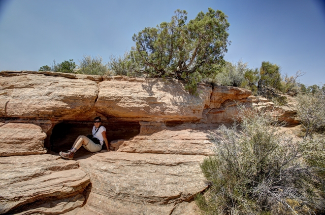
I found a some shade on the trail to the lower look out at Artists Point.
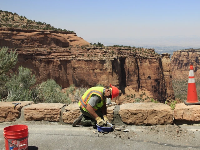
They are busy getting the park ready for summer --- part of the road is newly paved, here men are laying new curb stone and new guard rail is also being installed.
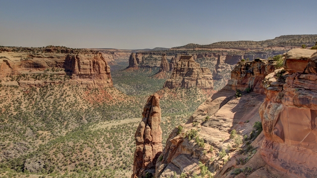
I'm not sure if this is the named "praying hands" but it certainly looks like it.
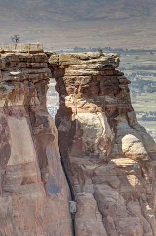
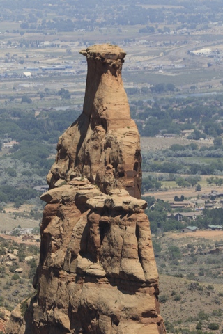
Window rock and this is Independence
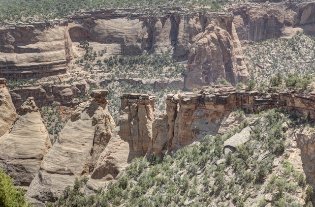
The "Coke Ovens", so named because the shape reminded someone of the ovens used to turn coal into coke. We followed a trail that took us to the out cropping just before the "coke oven" rocks (near the middle of the photo).
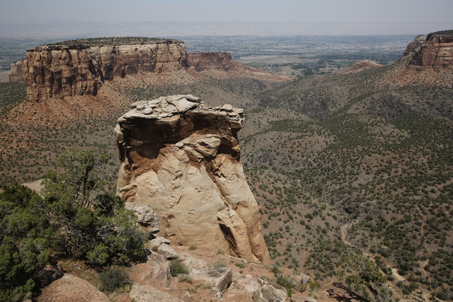
Another view. .
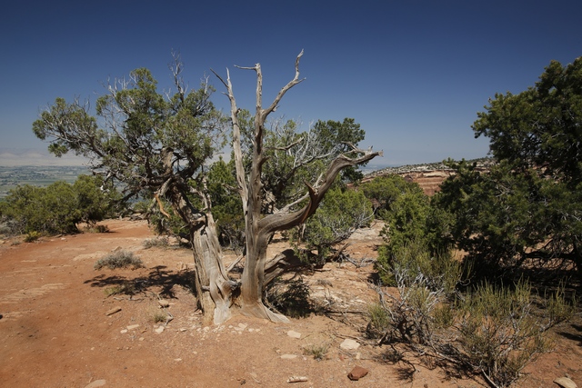
Lots of gnarly old cedars and junipers. Thought I should throw in a photo of something other than a rock.
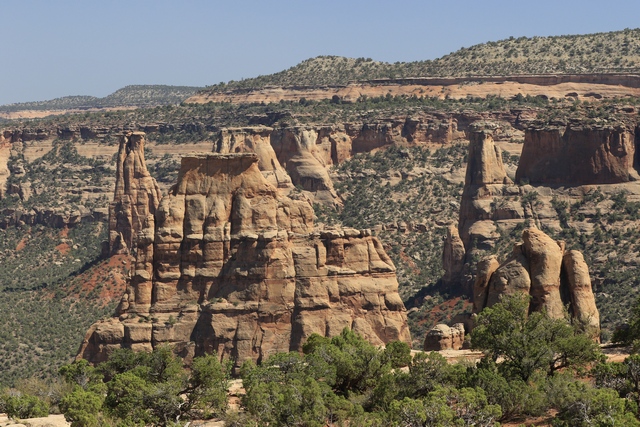
The first rock on the left is the "kissing couple" and the rock in front is "Independence" side profile.
The Colorado National Monument was created in 1911. It is 32 square miles of rugged up and down terrain with towering masses of naturally sculpted rock.
We started the morning with a 3 km hike up a hill quickly followed by a 3 km down a hill. We think this is a trail that a lot of the locals hike on a regular basis as it's close to the park entrance and a number of homes. Some of the sites on our hike.


The 23 mile Rim Rock Drive climbs from the Colorado River to to the park's high country, then winds along the plateau rim. The views are incredible making it really difficult to choose photos.

Red Canyon Overlook

Ute Canyon Overlook. What looks like a road at the bottom of the canyon is actually a dry creek bed that is until it rains.

At Artists Point the colour that paints the Monument's landscape is part due to the colour of the minerals in the rocks as well as the kinds of lichens and chemical compounds that coat their surfaces.

I found a some shade on the trail to the lower look out at Artists Point.

They are busy getting the park ready for summer --- part of the road is newly paved, here men are laying new curb stone and new guard rail is also being installed.

I'm not sure if this is the named "praying hands" but it certainly looks like it.


Window rock and this is Independence

The "Coke Ovens", so named because the shape reminded someone of the ovens used to turn coal into coke. We followed a trail that took us to the out cropping just before the "coke oven" rocks (near the middle of the photo).

Another view. .

Lots of gnarly old cedars and junipers. Thought I should throw in a photo of something other than a rock.

The first rock on the left is the "kissing couple" and the rock in front is "Independence" side profile.