22/06: The Other Side
Category: General
Posted by: The Agnew Family
of the park, that is. Bonne Bay sort of splits Gros Morne into two sections --- the south-west and north-east. Until today we had spent all of our time in the north-east section. Today we drove the 80 kilometers to get to Woody Point (it's about 8 to go from Norris Point to Woody Point by boat).
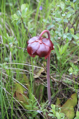
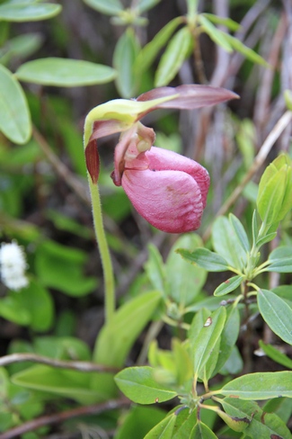
The Pitcher Plant (on the left) is the provincial flower of Newfoundland and Labrador. The Laddies Slipper is on the right. I'm really enjoying seeing all the different wildflowers in Newfoundland.
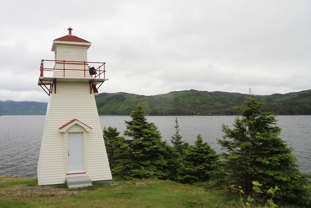
The lighthouse in Woody Point.
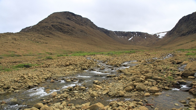
Just outside of Woody Point is Tablelands. Tablelands is made of ultramafic rock - peridotite. It is thought to originate in the earth's mantle and was forced up from the depths during a plate collision several hundred million years ago.
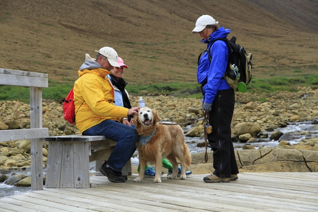
Zaph hard at work getting pets ... the token Zaphod photo.
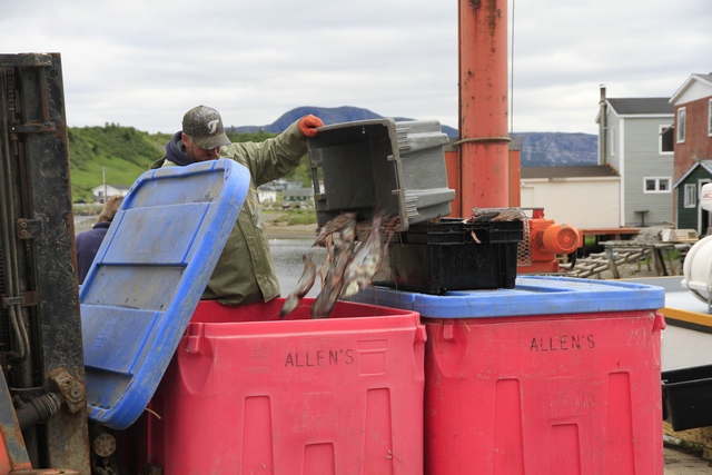
Continuing down the road we get to Trout River, an active fishing community. A boat had returned from fishing and was unloading when we arrived in town.
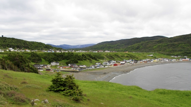
While we were in Trout River we took a walk along the cliff edge. Looking back you can see town ... upper and lower.
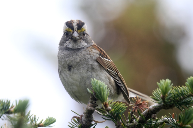
Ed used a telephoto lens to capture this photo but I have not enlarged it. The White Throated Sparrow was less than 5 feet from us.
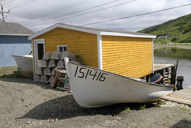
One of many fishing shacks in Trout River.
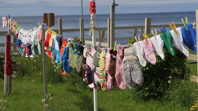
A lot of women in Newfoundland sell items they have knit. First time we seen them displayed on a clothes line beside their home.


The Pitcher Plant (on the left) is the provincial flower of Newfoundland and Labrador. The Laddies Slipper is on the right. I'm really enjoying seeing all the different wildflowers in Newfoundland.

The lighthouse in Woody Point.

Just outside of Woody Point is Tablelands. Tablelands is made of ultramafic rock - peridotite. It is thought to originate in the earth's mantle and was forced up from the depths during a plate collision several hundred million years ago.

Zaph hard at work getting pets ... the token Zaphod photo.

Continuing down the road we get to Trout River, an active fishing community. A boat had returned from fishing and was unloading when we arrived in town.

While we were in Trout River we took a walk along the cliff edge. Looking back you can see town ... upper and lower.

Ed used a telephoto lens to capture this photo but I have not enlarged it. The White Throated Sparrow was less than 5 feet from us.

One of many fishing shacks in Trout River.

A lot of women in Newfoundland sell items they have knit. First time we seen them displayed on a clothes line beside their home.