02/12: The White Rhino
Category: General
Posted by: The Agnew Family
Chris and Tina had told us that you needed a full day to see North and Middle Caicos so we were up early and at the ferry dock shortly after 6am waiting for the 6:30am ferry.
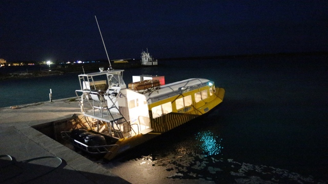
Ed (not a morning person) kept asking why we were up in the middle of the night.
We had arrange for a rental vehicle on North Caicos. The "White Rhino", a 2001 Land Rover, was waiting for us when we arrive.
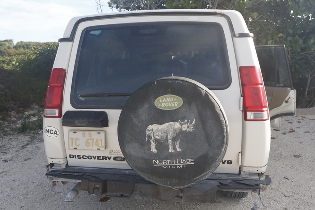
The car rental agencies should be call "Rent a Junk". The land rover was pretty enough except for the missing lights, broken bumper, filthy windshield and mostly bald tires. The fellow who delivered the land rover told Ed the key was a little tricky. When you put the key into the ignition you needed to wiggle and pull it out a little. With a gentle touch the land rover started. First stop, the gas station. There are no gas stations on Middle Caicos (with a population of 275 it would be hard to justify one) so you wanted to make sure you had enough fuel for the day. With 3/4 of a tank of fuel and a clean windshield we were good to go. Oooooops White Rhino won't start, the battery is dead. The adventure begins.
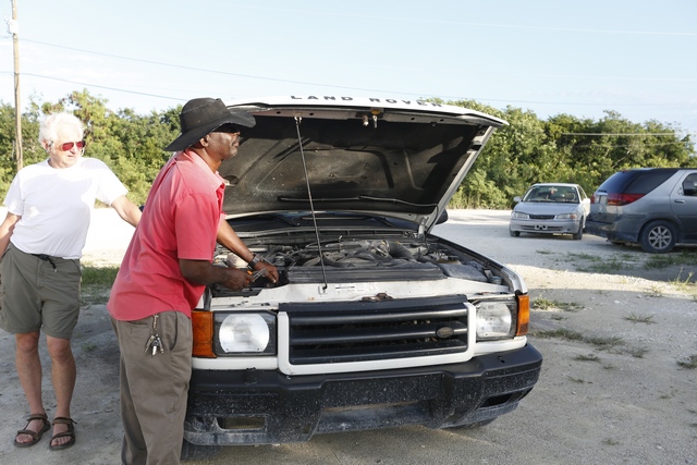
By luck we had the phone number of the fellow that had dropped off the land rover (he had used our phone to call his phone to get our phone number for his records). He came and jump started the car so we could drive it back to it's home where "dad" took the battery out of another land rover and put it in this one. Now we were good to go.
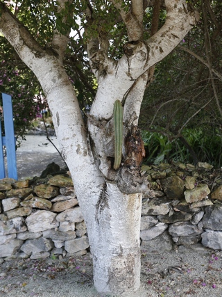
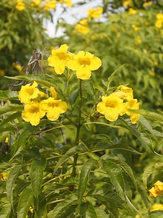
North and Middle Caicos gets more rain then Provo thus more vegetation. There were a lot of beautiful flowers growing by the side of the road.
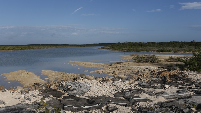
There is a lot of low land on North Caicos as you near the causeway to middle caicos.
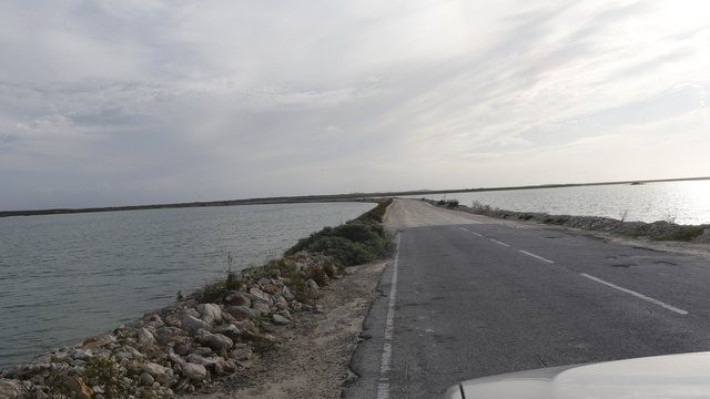
The causeway is a long narrow strip that joins the two islands. The road is an interesting mixture of pavement and dirt. I'm guessing this is caused by water rising and destroying the pavement.
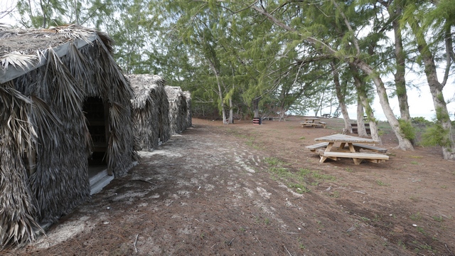
Tiki huts at Bambarra Beach. The snorkeling is suppose to be good here.
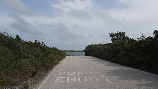
It's good to know that the road is ending. It would be easy to drive off the boat ramp into the water at Lorimers Landing.
There is one geocache on Middle Caicos that Ed thought he might like to get. The first road that we thought might get us close to it was 1.8 km as the crow flies, we figured at least a 5 km round trip down the beach and over the rocks. The second road that we thought might get us close to the geocache was over 2km as the bird flies. No geocache for Ed today, as even Ed didn't feel like doing the hike.
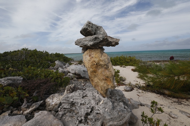
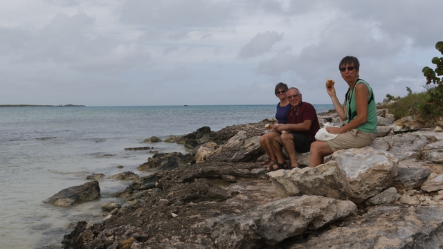
The second road did take us to Haulover Point. Someone started construction on a house and a cistern here, the concrete shells still stand but otherwise it is totally deserted. The structures are on a rocky point with a 270 degree view of the ocean. Off to one side is a sand beach cove.
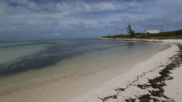
You can see the buildings on the upper left side of the photo. I can understand why someone wanted to build here.
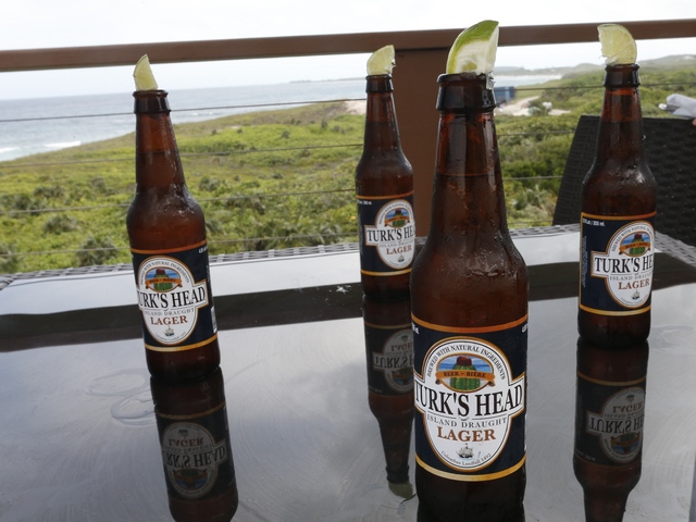
We had driven to the end of the road in Middle Caicos and worked our way back towards the ferry. One spot we had missed was Mudjin Harbour. Literature on the Turks and Caicos all said Mudjin Harbour was a must see. Now that we've seen it we agree. Before we headed down to the beach we stopped for a refreshing beverage at the Mudjin Bar & Grill.
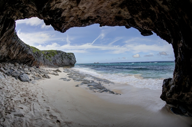
A path leads you down some steps through a cave out to a small beach.
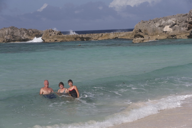
The main beach is protected by some rocks so the water was calmer here than on the other beach.
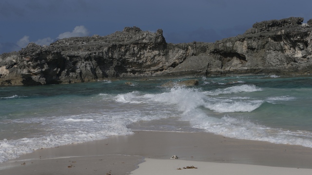
A high school physics experiment in real life. The waves came into shore from two different direction meeting at a sandy point that led to the rocks. The waves crashed as they me and continued past the intersection point.
We pulled down a side road and into a church driveway to look at Bottle Creek. The driveway ended at the top of a hill and we joked to Ed that he better make sure he stopped in time so we didn't end up in the water.
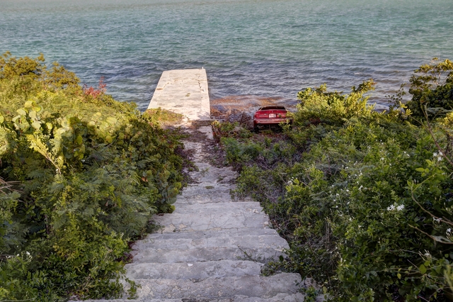
Looks like someone didn't manage to stop in time.
The White Rhino faired not too bad today as it got us back to the ferry safe and sound. We didn't see much of North Caicos and missed the caves on South Caicos so we'll have to come back the next time we are in Provo.

Ed (not a morning person) kept asking why we were up in the middle of the night.
We had arrange for a rental vehicle on North Caicos. The "White Rhino", a 2001 Land Rover, was waiting for us when we arrive.

The car rental agencies should be call "Rent a Junk". The land rover was pretty enough except for the missing lights, broken bumper, filthy windshield and mostly bald tires. The fellow who delivered the land rover told Ed the key was a little tricky. When you put the key into the ignition you needed to wiggle and pull it out a little. With a gentle touch the land rover started. First stop, the gas station. There are no gas stations on Middle Caicos (with a population of 275 it would be hard to justify one) so you wanted to make sure you had enough fuel for the day. With 3/4 of a tank of fuel and a clean windshield we were good to go. Oooooops White Rhino won't start, the battery is dead. The adventure begins.

By luck we had the phone number of the fellow that had dropped off the land rover (he had used our phone to call his phone to get our phone number for his records). He came and jump started the car so we could drive it back to it's home where "dad" took the battery out of another land rover and put it in this one. Now we were good to go.


North and Middle Caicos gets more rain then Provo thus more vegetation. There were a lot of beautiful flowers growing by the side of the road.

There is a lot of low land on North Caicos as you near the causeway to middle caicos.

The causeway is a long narrow strip that joins the two islands. The road is an interesting mixture of pavement and dirt. I'm guessing this is caused by water rising and destroying the pavement.

Tiki huts at Bambarra Beach. The snorkeling is suppose to be good here.

It's good to know that the road is ending. It would be easy to drive off the boat ramp into the water at Lorimers Landing.
There is one geocache on Middle Caicos that Ed thought he might like to get. The first road that we thought might get us close to it was 1.8 km as the crow flies, we figured at least a 5 km round trip down the beach and over the rocks. The second road that we thought might get us close to the geocache was over 2km as the bird flies. No geocache for Ed today, as even Ed didn't feel like doing the hike.

The second road did take us to Haulover Point. Someone started construction on a house and a cistern here, the concrete shells still stand but otherwise it is totally deserted. The structures are on a rocky point with a 270 degree view of the ocean. Off to one side is a sand beach cove.


You can see the buildings on the upper left side of the photo. I can understand why someone wanted to build here.

We had driven to the end of the road in Middle Caicos and worked our way back towards the ferry. One spot we had missed was Mudjin Harbour. Literature on the Turks and Caicos all said Mudjin Harbour was a must see. Now that we've seen it we agree. Before we headed down to the beach we stopped for a refreshing beverage at the Mudjin Bar & Grill.

A path leads you down some steps through a cave out to a small beach.

The main beach is protected by some rocks so the water was calmer here than on the other beach.

A high school physics experiment in real life. The waves came into shore from two different direction meeting at a sandy point that led to the rocks. The waves crashed as they me and continued past the intersection point.
We pulled down a side road and into a church driveway to look at Bottle Creek. The driveway ended at the top of a hill and we joked to Ed that he better make sure he stopped in time so we didn't end up in the water.

Looks like someone didn't manage to stop in time.
The White Rhino faired not too bad today as it got us back to the ferry safe and sound. We didn't see much of North Caicos and missed the caves on South Caicos so we'll have to come back the next time we are in Provo.