20/07: Half a Day Off
Category: General
Posted by: The Agnew Family
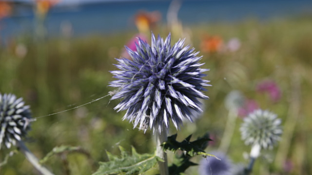
After months of waiting, Ed's new camera finally arrived. It's not that much different from his older cameras but this one does video as well as still photos. Should keep him busy and out of trouble for months while he learns the intricacies of the camera.
We had a half a day with no plans, a new camera and our Exploring the Bruce Passport begging us to finish the route. What were we to do but head north to the Bruce Peninsula. The GPS always tries to the take the fastest or shortest route to the destination but I always enjoy driving different routes when time allows, so I was armed with my Back Roads Map Book. Staring at the map I discovered that Ontario has Ghost Towns and we were driving near the ghost town of "Malcolm". Didn't quite meet my expectations of a ghost town as there were no abandoned buildings to be explored, just a cemetery and some markers.
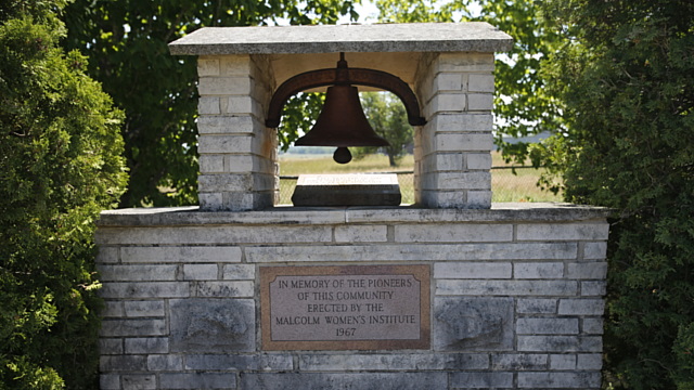
There were a few homes in the area but no buildings indicating a community was once here.
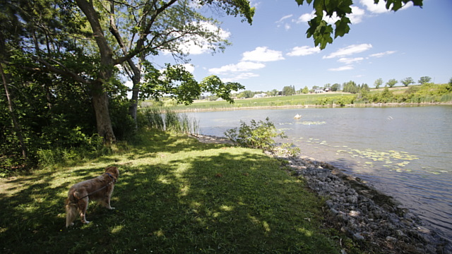
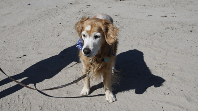
Next stop the Chesley Community Park --- a nice spot for a picnic lunch. Sorry Zaph, no time for a swim.
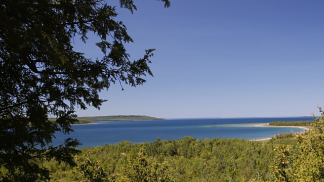
Stop #3 on Explore the Bruce is this lovely look out on Sidney Bay Road on the way to Cape Croker. Ed was happy, he was able to punch his passport and find a geocache, though a bit sad when we couldn't find the 2nd geocache.
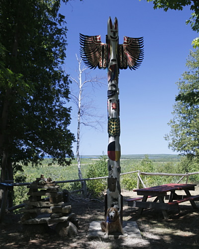
The little parkette is privately owned and is on an Indian Reservation. There were a number of picnic tables a trail and a couple of totem poles even though I don't believe tribes from Ontario carved totem poles.
Stop #2 on Explore the Bruce was by the gates to the Greig's Cave. As neither of us felt like paying to "explore the caves" (maybe another day) we drove back to Wiarton with ice cream cones dancing in our heads.
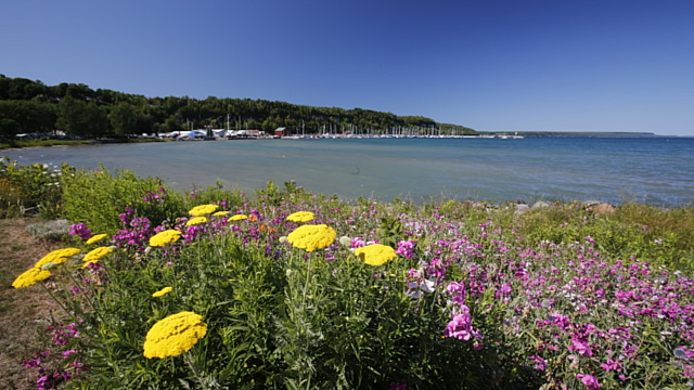
Didn't find ice cream but did find frozen raspberry lemonade, yum! Wiarton is a pretty spot.
We had a half a day with no plans, a new camera and our Exploring the Bruce Passport begging us to finish the route. What were we to do but head north to the Bruce Peninsula. The GPS always tries to the take the fastest or shortest route to the destination but I always enjoy driving different routes when time allows, so I was armed with my Back Roads Map Book. Staring at the map I discovered that Ontario has Ghost Towns and we were driving near the ghost town of "Malcolm". Didn't quite meet my expectations of a ghost town as there were no abandoned buildings to be explored, just a cemetery and some markers.

There were a few homes in the area but no buildings indicating a community was once here.

Next stop the Chesley Community Park --- a nice spot for a picnic lunch. Sorry Zaph, no time for a swim.

Stop #3 on Explore the Bruce is this lovely look out on Sidney Bay Road on the way to Cape Croker. Ed was happy, he was able to punch his passport and find a geocache, though a bit sad when we couldn't find the 2nd geocache.

The little parkette is privately owned and is on an Indian Reservation. There were a number of picnic tables a trail and a couple of totem poles even though I don't believe tribes from Ontario carved totem poles.
Stop #2 on Explore the Bruce was by the gates to the Greig's Cave. As neither of us felt like paying to "explore the caves" (maybe another day) we drove back to Wiarton with ice cream cones dancing in our heads.

Didn't find ice cream but did find frozen raspberry lemonade, yum! Wiarton is a pretty spot.

