16/04: Back to driving west again.
Category: General
Posted by: The Agnew Family
After finding several geocaches in Winslow and taking a couple of photos of Ed standing in the corner ---- not in the rain we started our drive west.
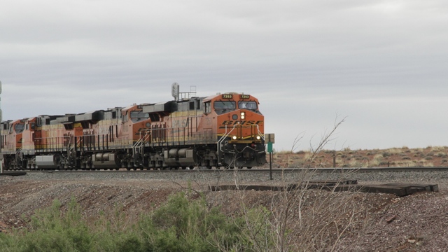
A train coming into Winslow.
We picked up Route 66 just outside of Flagstaff and followed it thru a “downtown” area where we stopped and walked around.
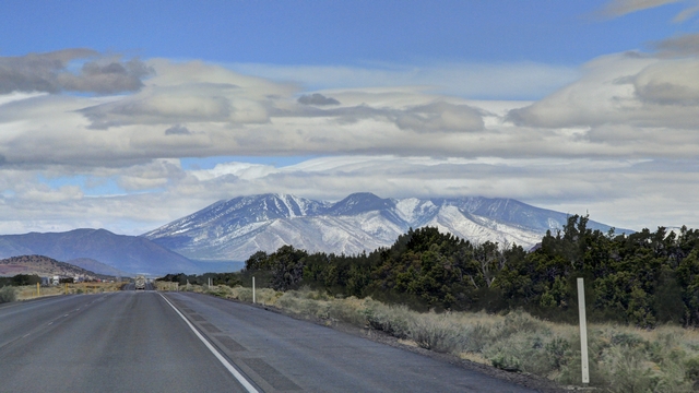
Yup, that's snow you see on the mountain. As we got closer to Flagstaff there was the remains of fresh snow on the ground (it was 7C so the snow was melting).
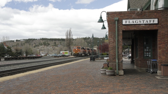
The Flagstaff train station is half AMTRACK train staff and half Visitor Center.
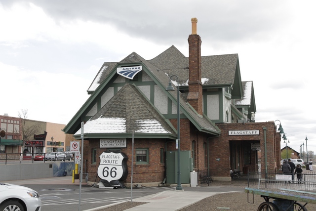
Another view of the train station --- notice the snow on the roof.
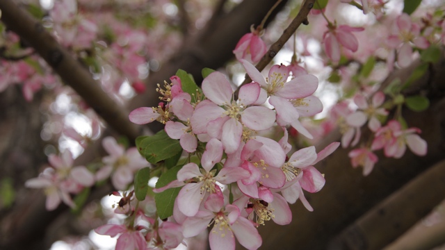
Even though there were signs of winter, there were also signs of spring.
As we drove along Route 66 it turned into I40. After about 50 miles on I40, Route 66 separated from the interstate, so we followed it once again.
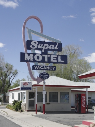
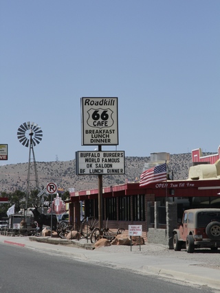
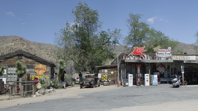
Remember the old Burma Shave ads?
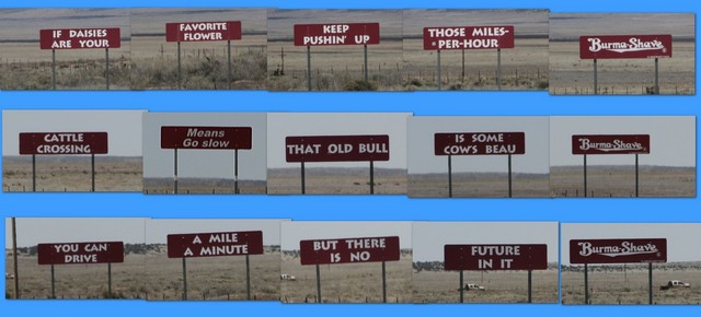
Here's three that we saw.
Do you remember Snoopy from the Peanuts cartoon strip? How about his brother Spike?
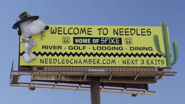
We have arrived, we crossed the Arizona / California border and drove into Needles.
We drove around Needles looking for a grocery store (turns out they don't have one just a 99 cent store that has very basic groceries), finding a few geocaches and finding the resort area.
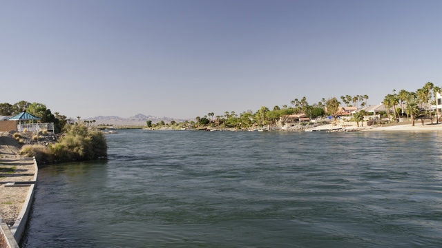
I was a little surprised to see the water but Ed reminded me that even though we are in or at least very near to the Mojave desert, Needles does border the Colorado River.

A train coming into Winslow.
We picked up Route 66 just outside of Flagstaff and followed it thru a “downtown” area where we stopped and walked around.

Yup, that's snow you see on the mountain. As we got closer to Flagstaff there was the remains of fresh snow on the ground (it was 7C so the snow was melting).

The Flagstaff train station is half AMTRACK train staff and half Visitor Center.

Another view of the train station --- notice the snow on the roof.

Even though there were signs of winter, there were also signs of spring.
As we drove along Route 66 it turned into I40. After about 50 miles on I40, Route 66 separated from the interstate, so we followed it once again.


Remember the old Burma Shave ads?

Here's three that we saw.
Do you remember Snoopy from the Peanuts cartoon strip? How about his brother Spike?

We have arrived, we crossed the Arizona / California border and drove into Needles.
We drove around Needles looking for a grocery store (turns out they don't have one just a 99 cent store that has very basic groceries), finding a few geocaches and finding the resort area.

I was a little surprised to see the water but Ed reminded me that even though we are in or at least very near to the Mojave desert, Needles does border the Colorado River.