2007/06/17
1959 Earthquake
We drove through Yellowstone from the north gate to the west gate as we were moving to the town of West Yellowstone. Once we settle in we decided to do a scenic drive through the area and visit the Madison River Canyon Earthquake Area. On August 17, 1959 one of the most powerful earthquakes ever recorded on the North American continent struck the Madison River Canyon. From the brochure: "The earthquake, which measured 7.5 on the Richter scale, triggered a massive landslide, which sent over 80 million tons of rock crashing down into the canyon, blocking the Madison River. The water backed up behind the rocks, forming the new Earthquake Lake.'
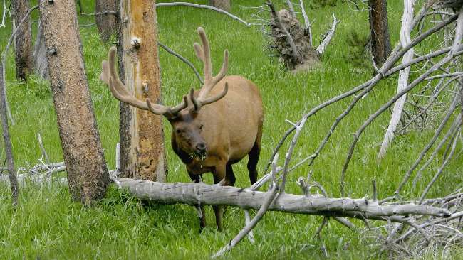
This elk was getting a lot of attention while he was eating breakfast.
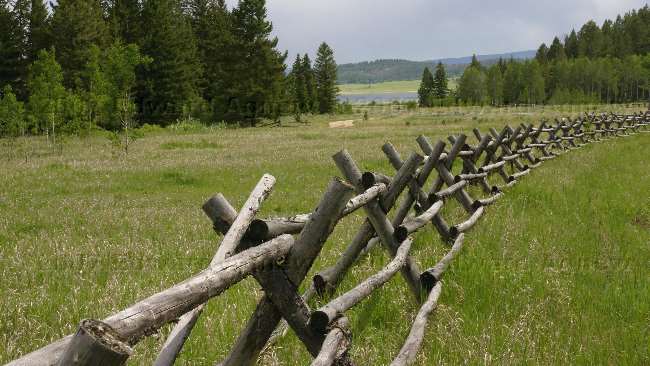
Don't need a post hole digger to put up this fence.

Some pretty blue flowers.
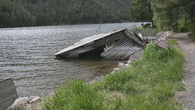
Hebgen Lake tilted upward during the earthquake lowering the south shore by 19 feet. The occupant of this cabin jumped out just before it slipped into the lake.
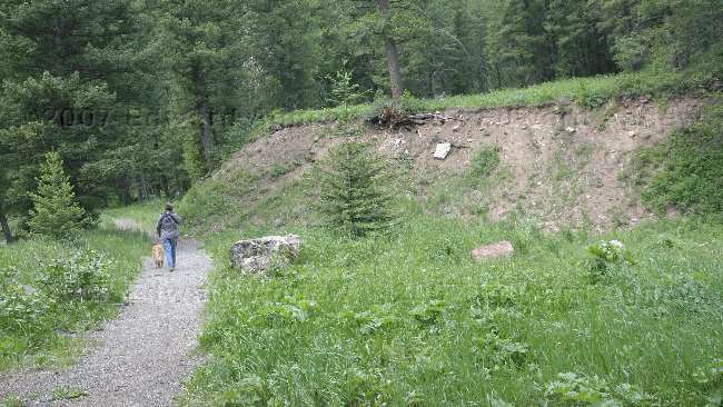
The ridge on the right of the picture was formed during the earthquake.
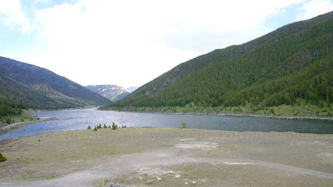
A view of Earthquake Lake. In a hundred years or so it may be drained as the river slowly widens the channel allowing more water to flow out of it.
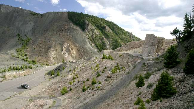
To give you a size prospective that's our truck in the parking lot. The rock on the right was originally attached to the circle like outcropping on the left and was moved during the slide. The rock is sitting about 300 feet above the original valley floor.
This elk was getting a lot of attention while he was eating breakfast.
Don't need a post hole digger to put up this fence.
Some pretty blue flowers.
Hebgen Lake tilted upward during the earthquake lowering the south shore by 19 feet. The occupant of this cabin jumped out just before it slipped into the lake.
The ridge on the right of the picture was formed during the earthquake.
A view of Earthquake Lake. In a hundred years or so it may be drained as the river slowly widens the channel allowing more water to flow out of it.
To give you a size prospective that's our truck in the parking lot. The rock on the right was originally attached to the circle like outcropping on the left and was moved during the slide. The rock is sitting about 300 feet above the original valley floor.
![]()