Friday, January 06, 2006
Desert Mountains
The Picacho State Recreation Area is only 29 miles from the RV resort, but it’s a very interesting 29 miles. You drive 11 miles of regular boring roads then the road changes to gravel and the terrain becomes hilly and windy. Before long you are driving through a range of low mountains created by erosion of volcanic material. In the middle of this mountainous desert area is the Colorado River and the state recreation area. Within the recreation area is the old of town of Picacho which was a booming mining town around 1900 --- all that remains are the ruins of the stamping mill buildings. The trail into the old town site yielded some beautiful views. We also hiked into Red Rock Canyon where the trail ends at a dry waterfall and the walls are a vivid red and yellow volcanic tuff capped by a sedimentary top layer. It’s hard to image the force of the water that carved the canyon. The last adventure was a 2 mile drive on a 4x4 road up into the mountain. The resulting view was beautiful and the road was very interesting — I didn’t know Ed could drive that slow! The track road was on a ridge for a bit and they were the same width! just slightly wider than the truck— didn’t want to misjudge where the wheels were.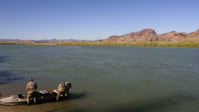
hunters loading up their boat on the Colorado River at the Picacho State Recreation Area
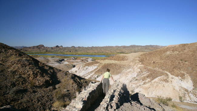
Frances takes a look over the edge of the cliff at the end of the 4x4 road up the mountain. A bridge once existed here.

Artifacts from the old stamping mill at Picacho
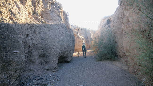
Walking along the bottom of Red Rock Canyon
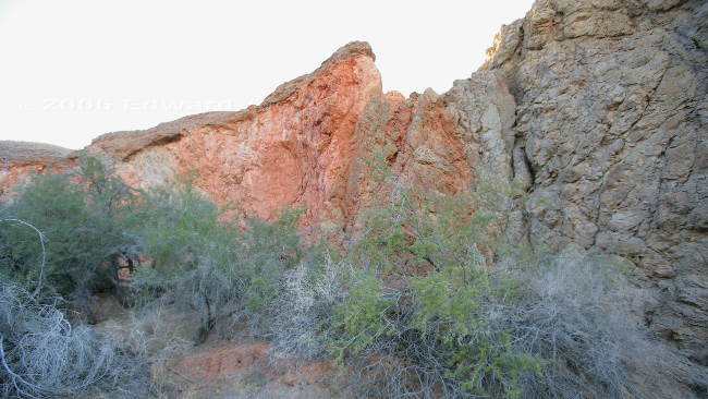
Some of the vivid red and yellow volcanic tuff on the canyon walls
hunters loading up their boat on the Colorado River at the Picacho State Recreation Area
Frances takes a look over the edge of the cliff at the end of the 4x4 road up the mountain. A bridge once existed here.
Artifacts from the old stamping mill at Picacho
Walking along the bottom of Red Rock Canyon
Some of the vivid red and yellow volcanic tuff on the canyon walls
![]()
If you wish you can sign our guest book
