Sunday, January 22, 2006
Take a Hike!
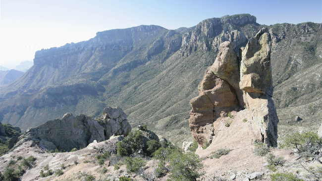
We decided that we had seen a lot of the park and it was time to hike one of the slightly longer trails — I wasn’t up to a 14 mile trail so we opted for a 4.8 mile trail called the Lost Mine Trail. The first 2.4 miles of the trail was uphill — as you returned on the same path it was down hill for the last 2.4 miles. The trail followed the side of a mountain giving us some great views of the area. The 2.4 miles up ended on a ridge that looked down into a pine valley on one side and out across to Toll Mountain and Casa Grande on the other side.
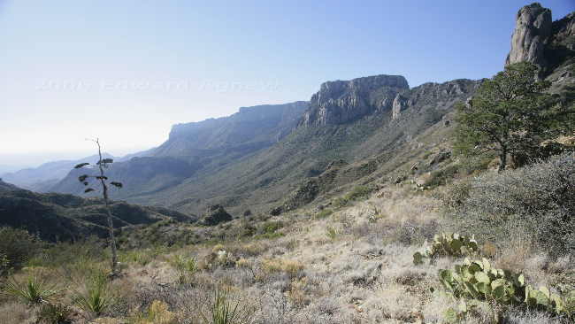
A view from the trail.
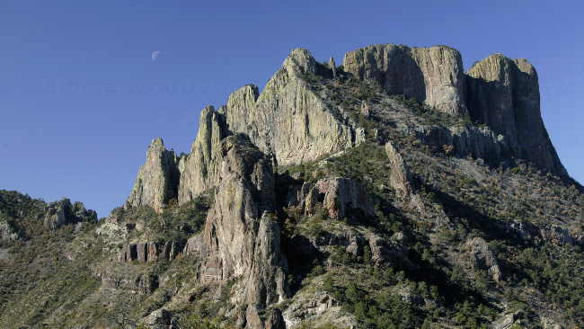
Casa Grande from a lava dike
Another view.
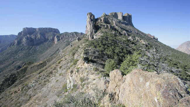
Casa Grande
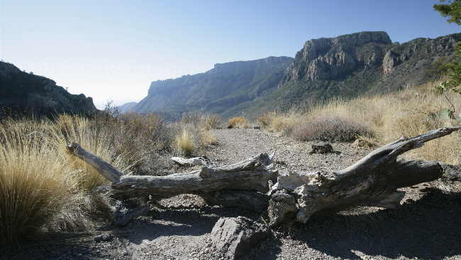
A view from the top of the ridge
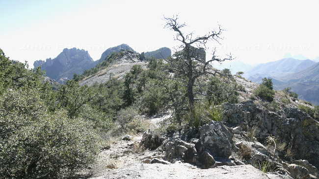
The ridge at the end of the trail.
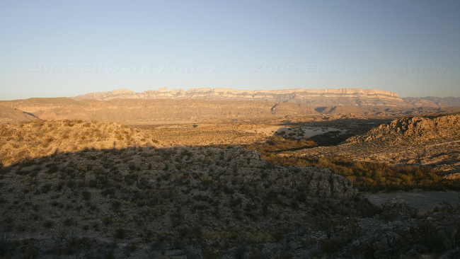
Sierra Del Carmen at sunset from the nature trail near the campground
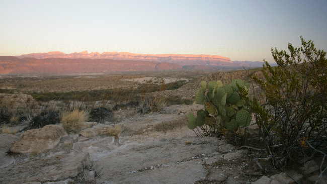
Another view of the Sierra del Carmen at sunset.
A view from the trail.
Casa Grande from a lava dike
Another view.
Casa Grande
A view from the top of the ridge
The ridge at the end of the trail.
Sierra Del Carmen at sunset from the nature trail near the campground
Another view of the Sierra del Carmen at sunset.
![]()
If you wish you can sign our guest book
